Chacabuco - San Rafael Glacier
Ice Water
Saturday December 8, 2007
Click the map if you want to zoom or pan the Mapquest map of Puerto Chacabuco, Chile. Chacabuco is a few kilometers down the road past Puerto Aisen, and was created to serve as the new port after the river mouth silted up at Puerto Aisén so badly that it could no longer be used as the port.
*********************************************************************
Hey, we had pretty good luck the morning we left Puyuhapi lodge - it wasn't pouring steadily (only a few showers off and on)! Lynn could sit in one of the outdoor thermal pools long enough to finally get a picture of that hummingbird in his nest (the one that lived in a branch right over the tub), and we were able to pack up the truck without getting all our stuff totally drenched.
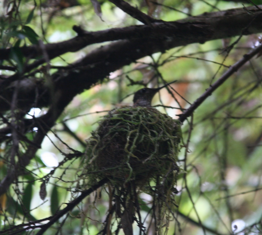
Mr. Hummingbird.
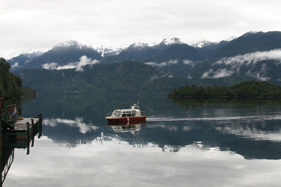
The water taxi comes to deliver us across the fjord,
and we enjoyed a smooth crossing,
but not so smooth beginning to the day's drive.
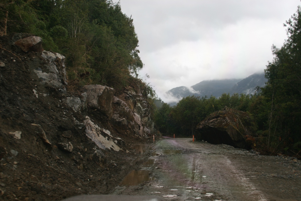
The section of the Carretera Austral 70 kilometers or so south of Puyahuapi is one of the worst sections of the road as far as driving is concerned, and although there are road improvements currently in progress, the construction only added additional obstacles and delays to our journey southward.
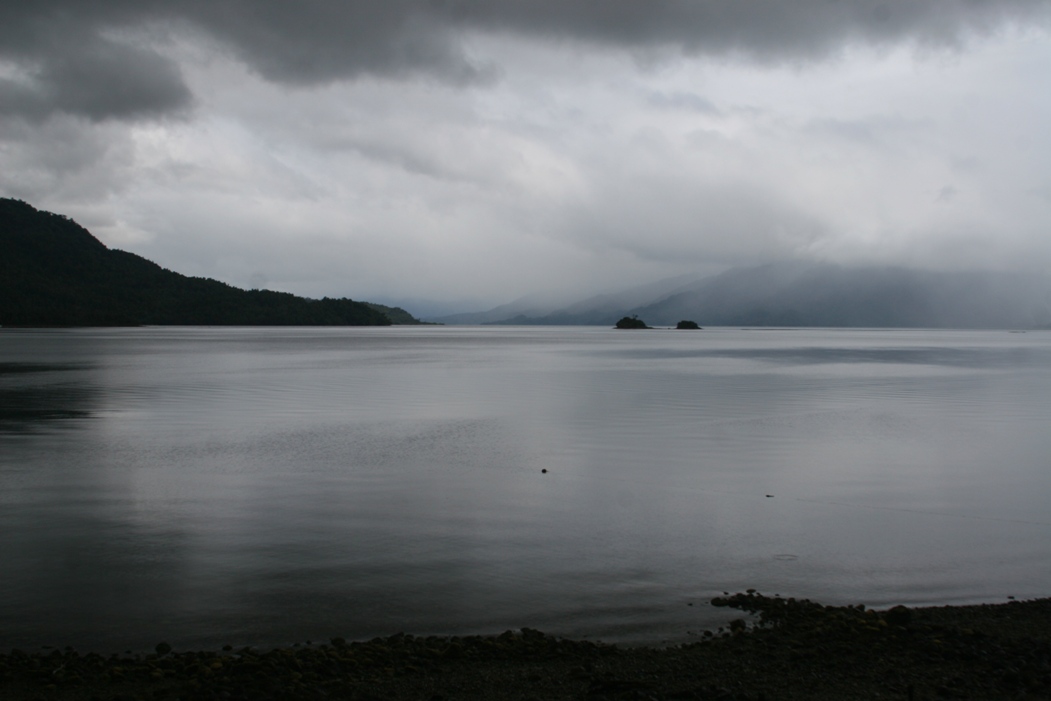
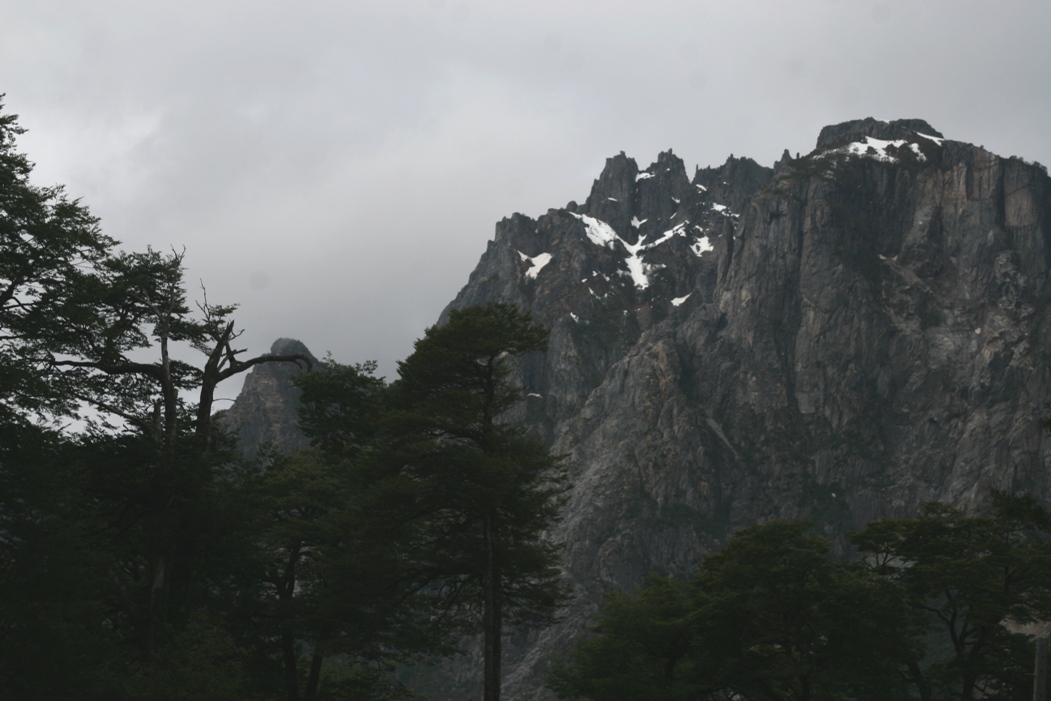
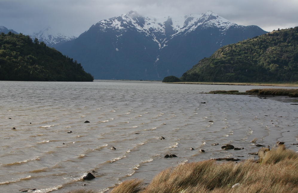
We had barely more than 200 kilometers to cover in order to reach our next stop to the south and we started out with a bit more than 3/8ths of a tank of gas, which on a paved level road would have been plenty. The rough road with plenty of elevation change conspired to pull the gas gauge down distressingly rapidly. But the scenery along the way was excellent as is usually the case for any section of the Carretera Austral.
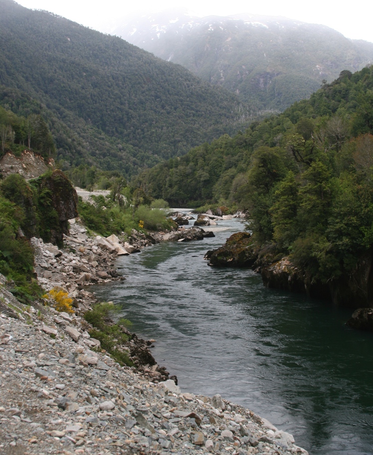
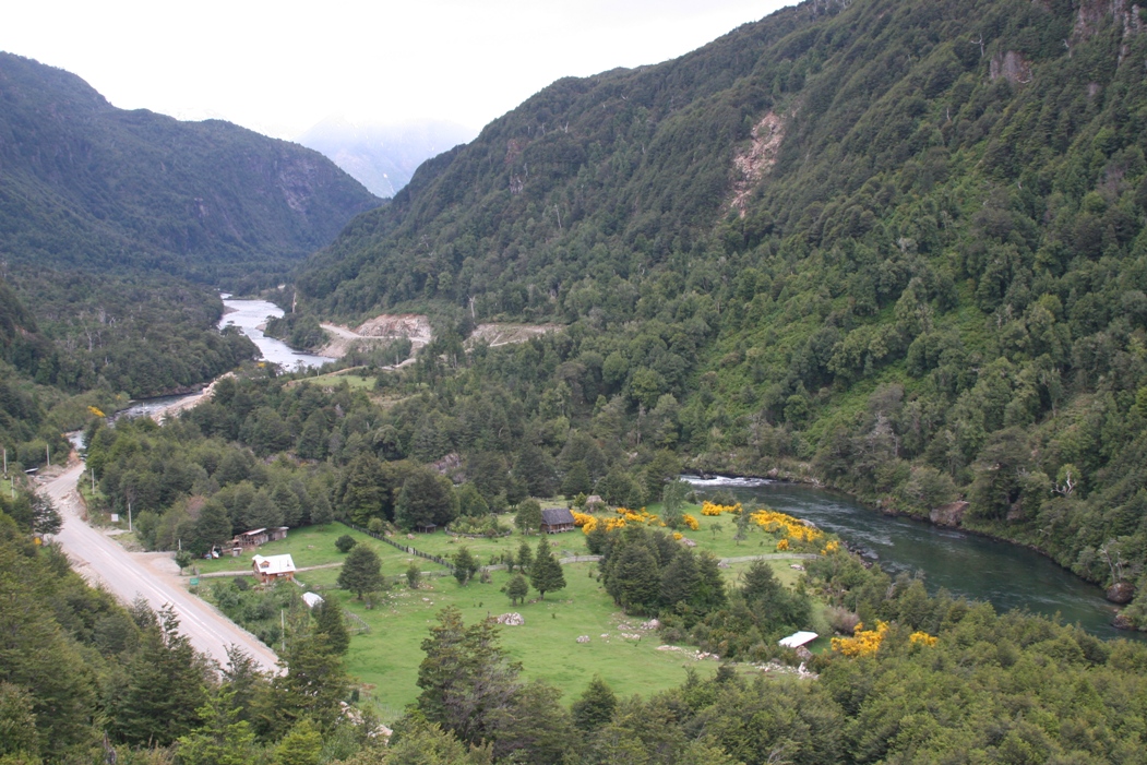
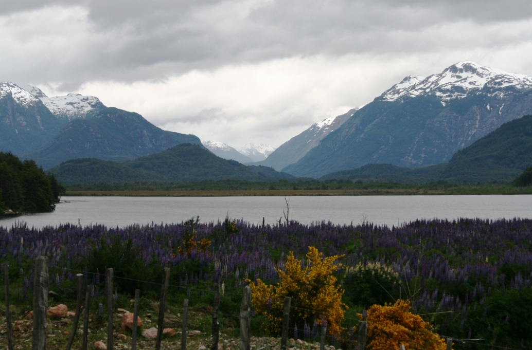
Rivers, valleys, and mountains. Ho-hum, more of the same...
At a tiny little crossroads of sorts, we encountered an unexpected gas station and the minor drama of whether or not we'd get to tap our reserve gas can before the end of the day was conveniently resolved. Then we hit a paved section of highway and glided into the former port town of Puerto Aisén. The 200 kilometer (120 mile) drive having taken a little over 4 hours! This still wasn't our final destination for the night. Puerto Aisén was established at the beginning of the 20th century to serve as a major port for the 11th region of Chile, but the massive land clearing that took place in the mid to southern part of the region caused extensive erosion which in turn silted up the port at Puerto Aisén to the point where it was unusable. So they kept the city where it was, but moved the port a dozen kilometers down the shore and set up a new small town called Chacabuco. This is where we finally found our hotel and stopped for the night (and stayed for the following two nights as well).
There are two and only two reasons visitors come to Chacabuco; either for business, which would have something to do with the massive salmon farm industry of this part of Chile (with much of the product being shipped out of the port at Chacabuco), or for pleasure, which would undoubtedly be to stay at the one single hotel in Chacabuco and then take the all-day catamaran excursion to visit Laguna San Rafael and the terminus of the massive San Rafael Glacier. I'm sure it's not too hard to guess which we were here for.
The estuary between Puerto Aisén and Chacabuco
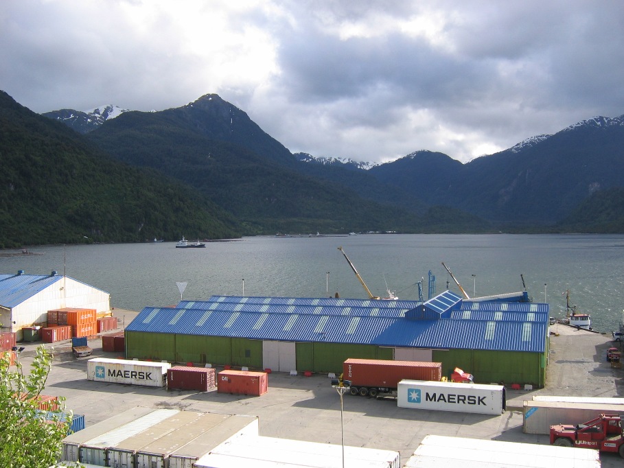
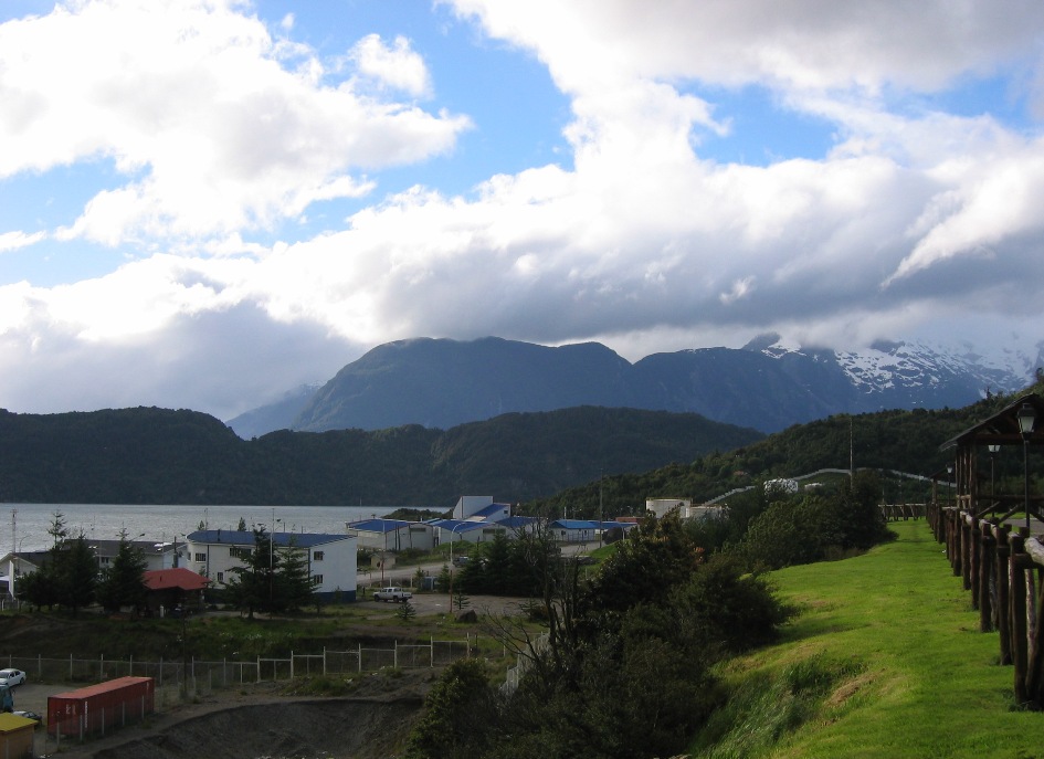
Looking down at the port and across at the town from our hotel on the hill.
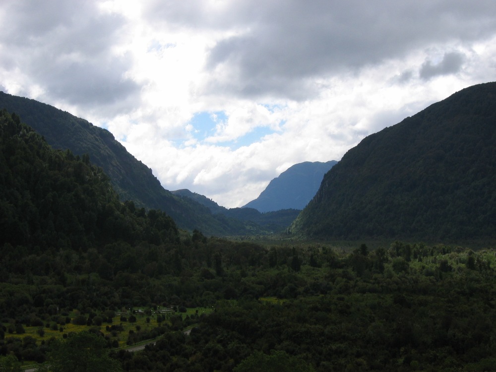
The hotel at Chacabuco is part of a large tourism organization that runs the catamaran excursions and also owns a private nature reserve (sort of like Parque Pumalin but on a much much smaller scale), and since we had an entire "free" day to spend in Chacabuco on Friday before our glacier excursion on Saturday, Lynn and I visited the reserve "Parque Aiken" late in the afternoon after the day's rain showers tapered off a little. Tethered by an unquenchable devotion to schoolwork (or perhaps the first working TV set they'd been around for more than a week), Tom and Anna opted to hang out in the hotel all day.
![]()
Mountains and valleys of Parque Aiken.
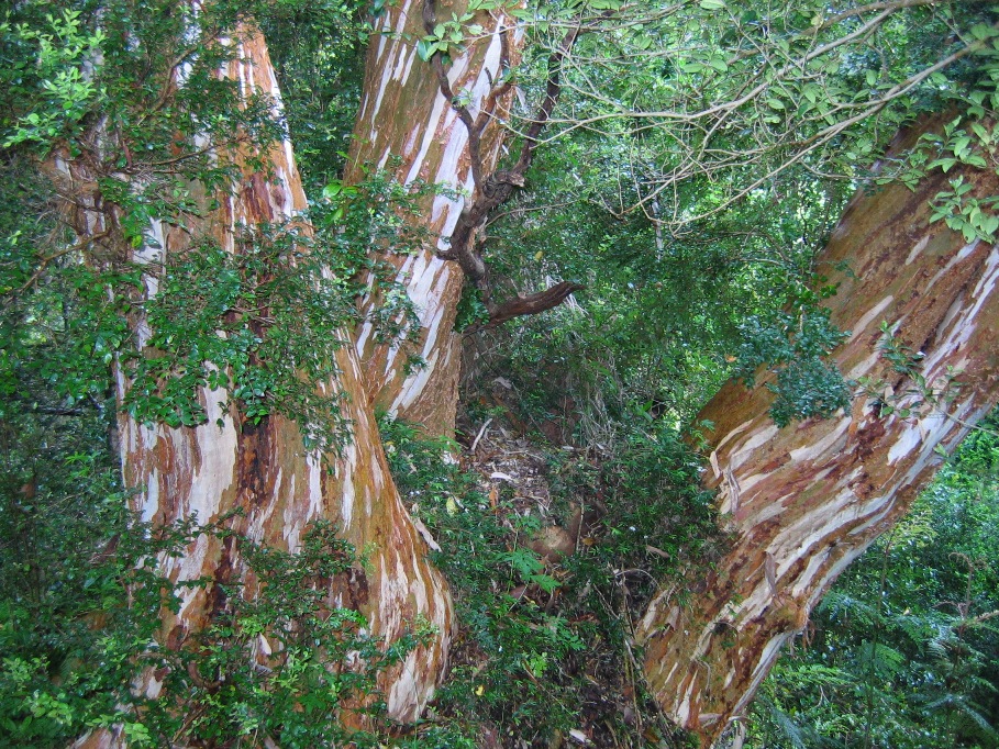
An enormous and very old Arayan tree.
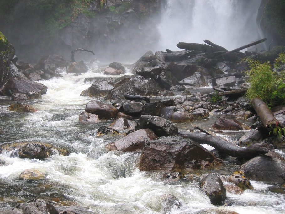
Waterfalls, rivers,
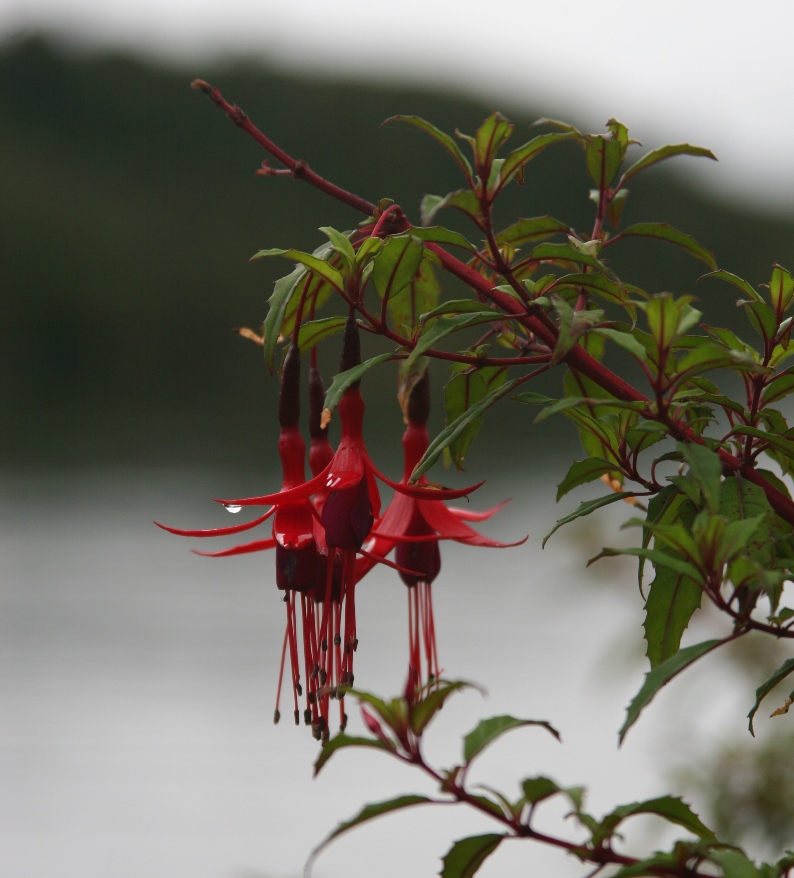
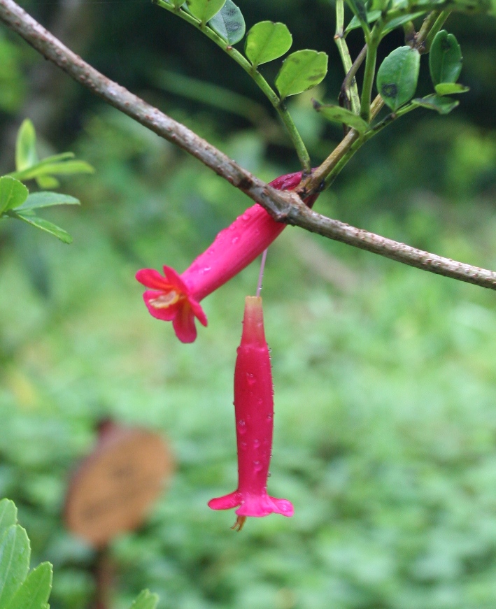
and flowers! The fuchsias (8 legged ballerinas) are familiar, but the flower on the right, "botilla" is something new.
Early on Saturday morning, we boarded busses (along with the entire rest of the hotel's guests) which drove us 3 or 4 hundred yards down to the port where a sleek, huge, yellow and white catamaran was waiting. Riding 5 hours through inland waterways to reach the San Rafael Glacier, the trip on the fast and smooth running catamaran passed like a glorified plane trip (with similar food, slightly better leg-room, and a much better view!). A little after 12 noon, the water began getting greener and we began encountering a smattering of small icebergs. Then shortly before 1pm, the theme music from "Chariots of Fire" started blasting over the loudspeakers, the catamaran rounded a point, and there it was - the enormous San Rafael glacier.
![]()
Flying along over the water...
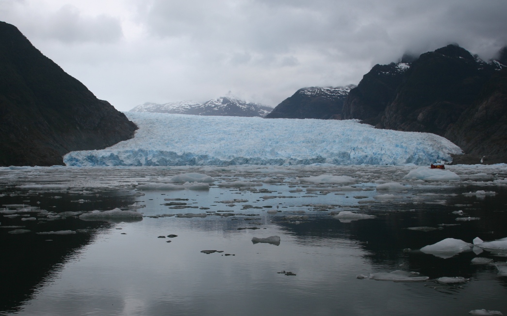
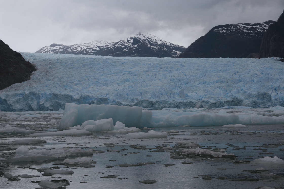
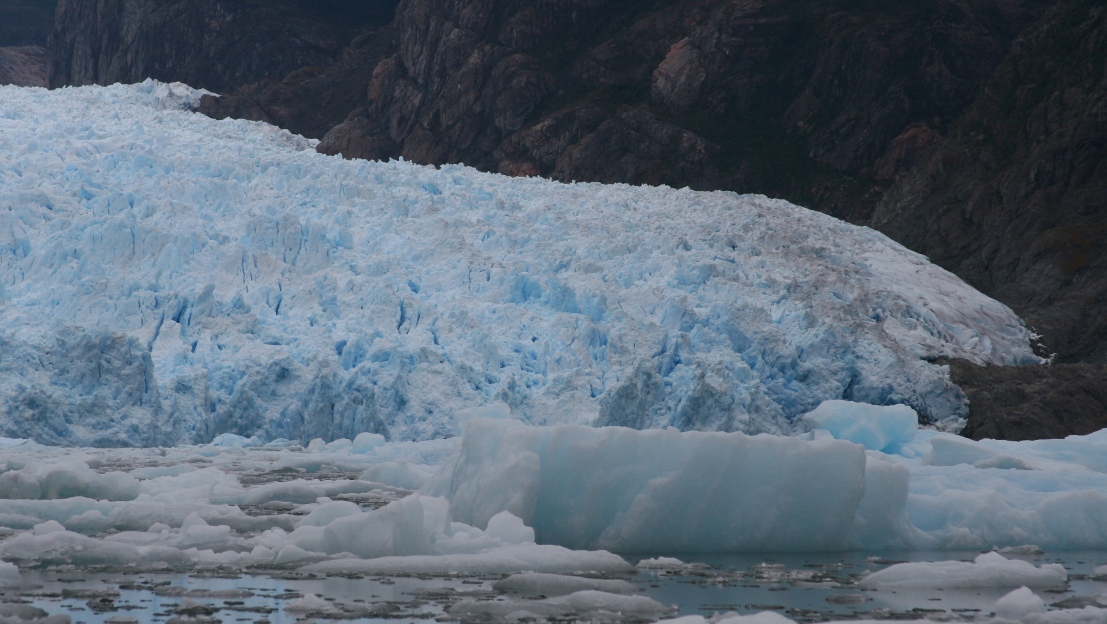
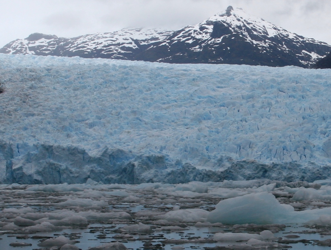
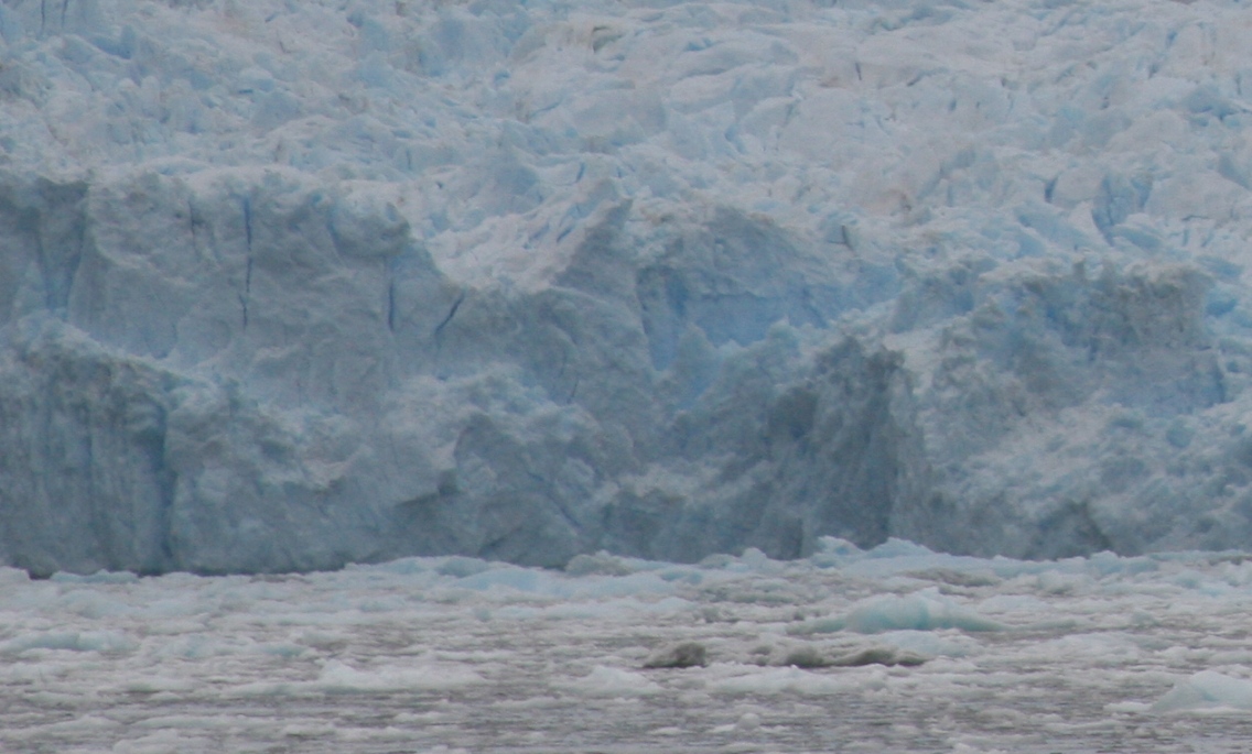
until we reached the glacier. The catamaran could not get any closer than 2 kilometers from the face of the glacier due to the large amount of ice floating in front of it. Our distance from the glacier disguised its massive size, which is almost 3 kilometers across, and the front face is up to 80 meters tall. For the next 2 hours, passengers on the ship took turns on two zodiac boats which took us another kilometer or so closer, but that was as close as was safe on this day. There was an enormous amount of ice in the water -
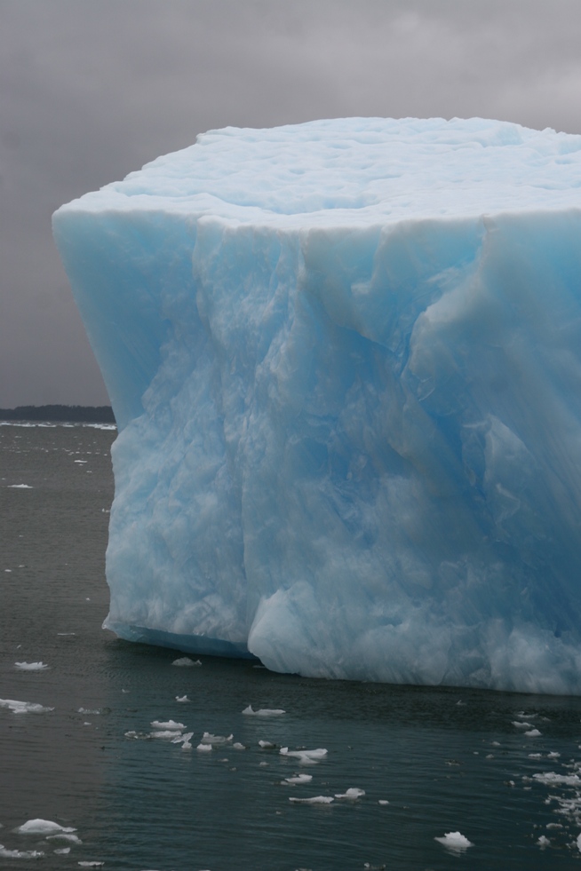
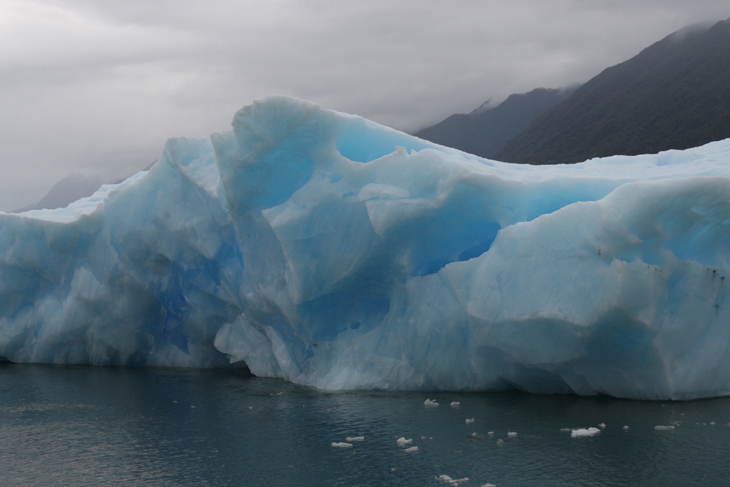
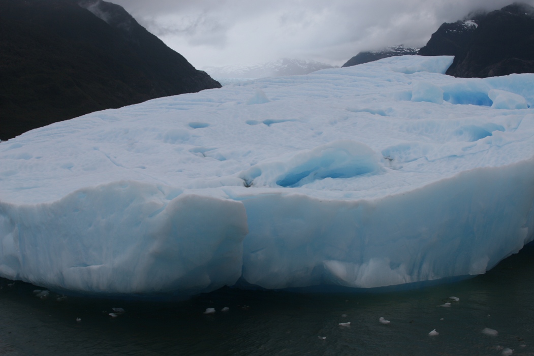
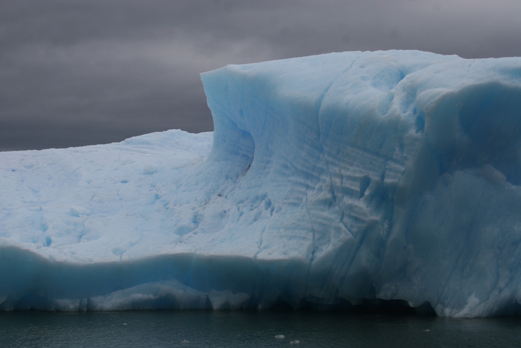
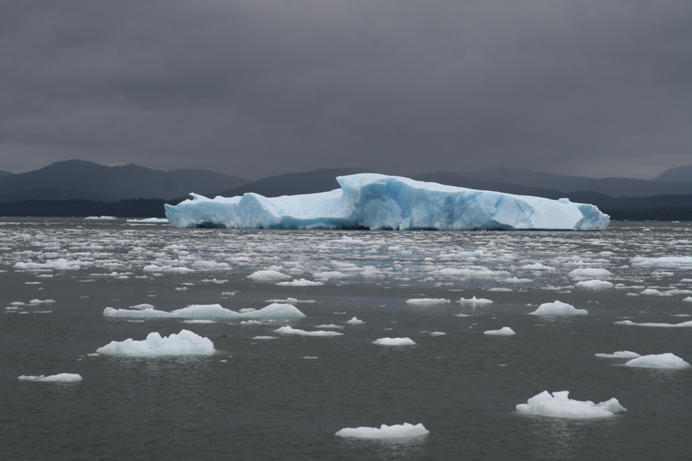
and some of the ice chunks were really huge icebergs.
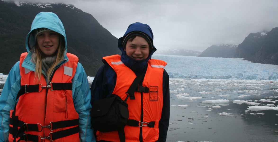
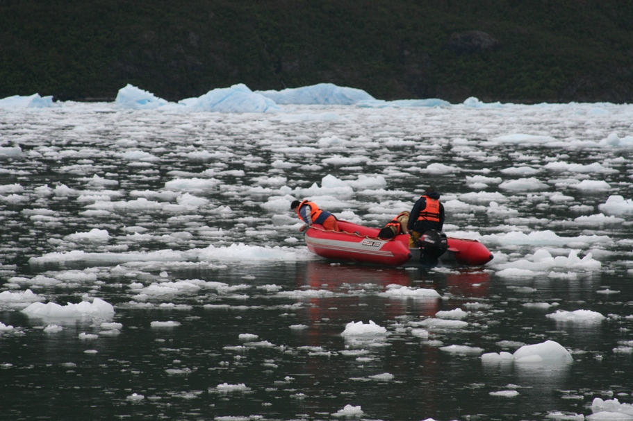
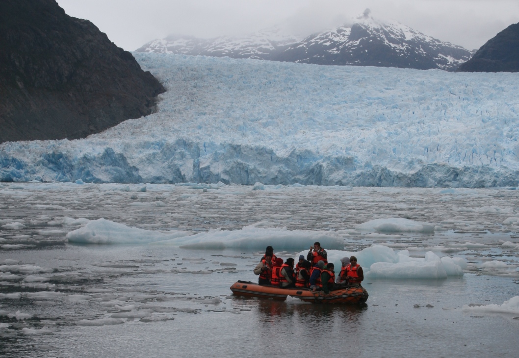
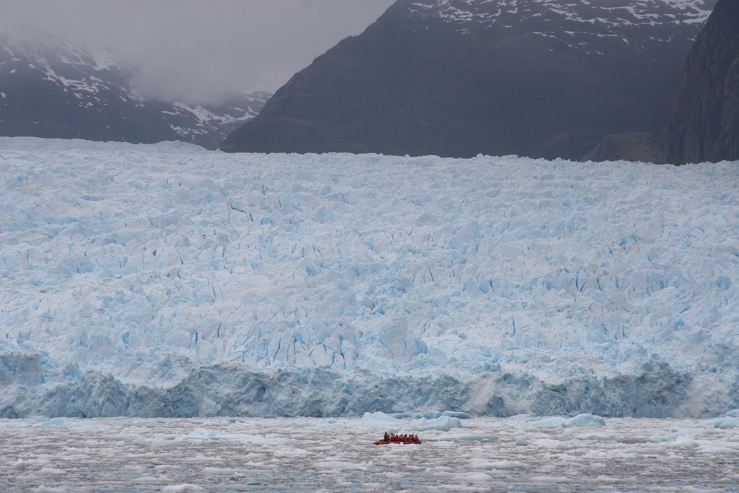
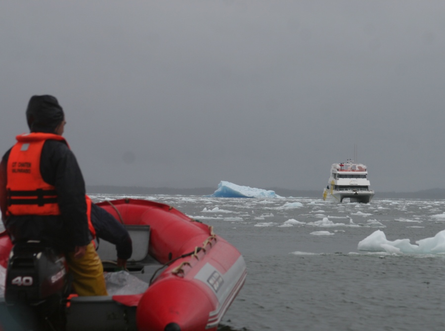
Zodiac excursions; Thomas and Anna suited up, the safety crew checking out the ice conditions, two pictures of tourists taking their turn, and then heading back to the mother ship.
Here are some current statistics regarding this glacier (all numerical data is approximate).
The San Rafael Glacier is the most equatorial glacier to reach the sea. It is about 50 kilometers long and runs westward from the Northern Ice-field of Chile till it reaches the southern end of a fjord. The Northern Ice-field and Southern Ice-field of Chile, combined together, form the world's third largest terrestrial icepack after Antarctica and Greenland. Over the past several centuries, this glacier has cycled through periods of rapid advancement and retreat, but scientists think that the current retreat cycle may be irreversible and that the glacier will likely disappear from view from the lagoon within 30 years. It has been retreating between 50 and 100 meters per year for the last 10-15 years. It discharges 2 million cubic meters of 30,000 year old ice each day from its face into the lagoon.
The ice is extremely compressed and melts very slowly. The catamaran crew scooped some up and chopped it up to serve floating in whiskey or coke to the passengers on the 5 hour cruise back to the hotel, during which the wind kicked up while heavy rain pelted the windows of the catamaran. With a man playing lively Chilean folk music in the lounge and an open bar for the entire trip home, no one seemed to mind the rain.
-Rolf