Puyuhuapi
Still Wetter Yet - If That's Possible...
Thursday December 6, 2007
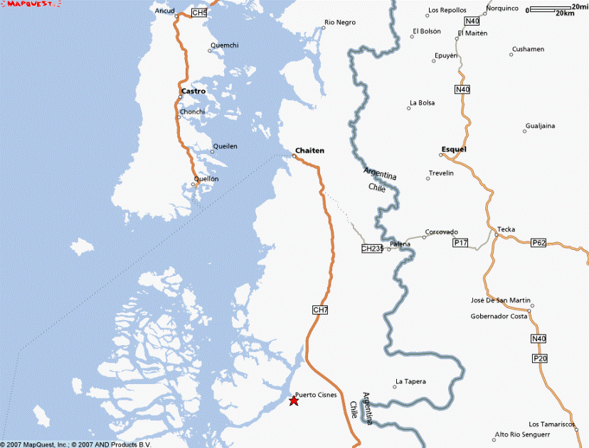
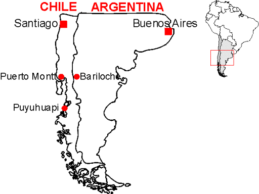
Click the map if you want to zoom or pan the Mapquest map of Puerto Cisnes, Chile, which is the closest village to Puyuhuapi that Mapquest can find. Puyuhuapi Village is located north of Puerto Cisnes near the point where the Carretera Austral (route 7) turns away eastward and inland from the long narrow fjord/channel/river extending northward up from Puerto Cisnes. Or for a more general idea of where this is in South America, I found this map on a tour company website...
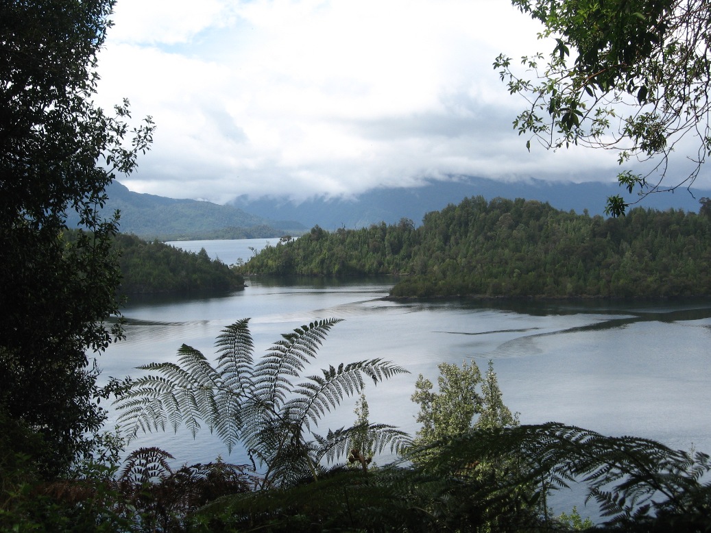
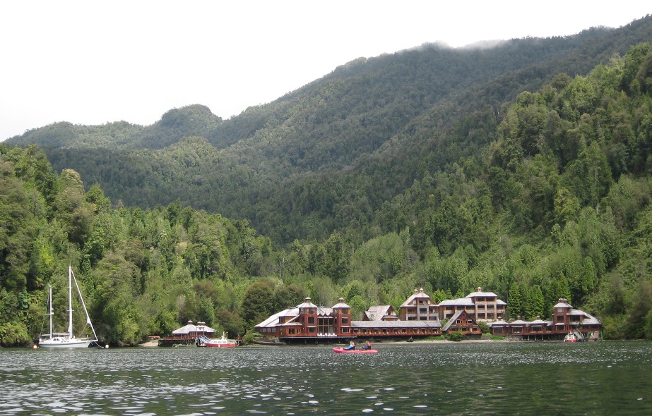
It's not much more than 200 kilometers from where we were staying in Parque Pumalin south to Puyuhuapi, but the drive took almost 5 hours, inclusive of several payphone stops along the way. We were hunting for public phones in order to make a call, as advised by the hotel we hoped to arrive at in time for dinner. This hotel is on "the other side of the fjord," and reaching it requires a 15 minute lift by water-taxi. They had requested that we "call when we get close" so they could send the boat over for us.
![]()
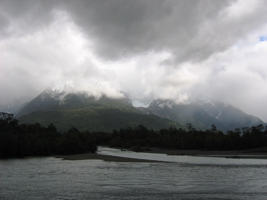
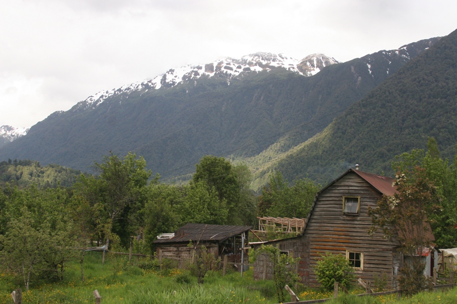
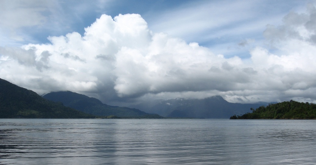
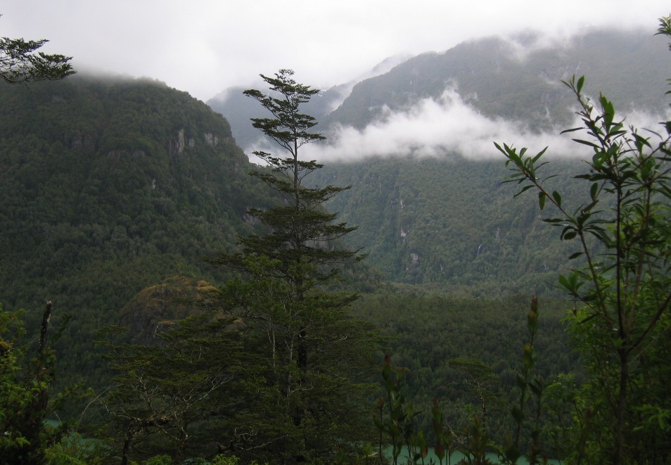
Scenery along the Carretera Austral between Chaitén and Puyuhuapi.
After driving through Puyuhuapi village about 15 kilometers north of the water-taxi pier for Termas de Puyuhuapi Lodge (our hotel), I was wondering why people chose this place to settle down in - especially considering that the village existed several dozen years before the Carretera Austral connected it to any of the other half-dozen or so obscure little outposts of the region.
Our guidebooks all recite pretty much the same story, which goes something like this...
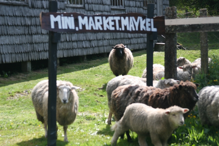
Puyuhuapi was originally settled by four friends who came here from Sudetenland (a part of Germany now within the Czech Republic) in the 1930's. Whether they came to escape Nazi Germany or abet it with some sort of U-boat depot or spy outpost was a subject of speculation for some time, but the undeniable facts are that they all married Chilean women, raised families, and eventually established a "factory" for the manual fabrication of high-quality wool carpets. The factory is still operating today, and Lynn and Anna toured it the day after we arrived.
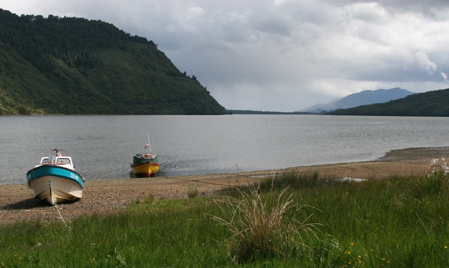
The bustling and frenzied harbor of Puyuhuapi village.
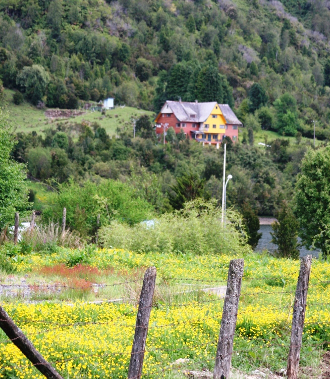
The crowded neighborhoods exhibit a rural German motif.
Raw material for the carpet factory.
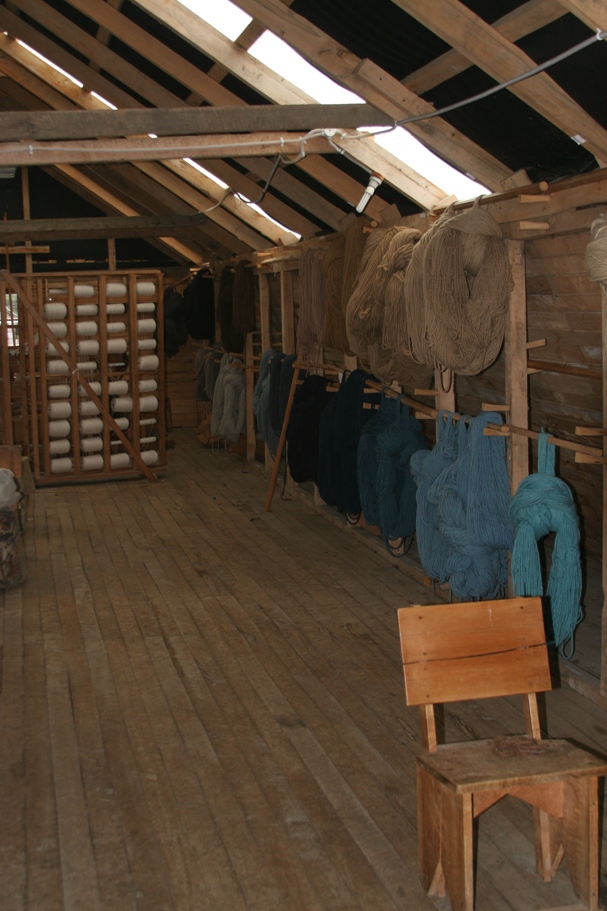
Drying racks for recently-dyed wool.
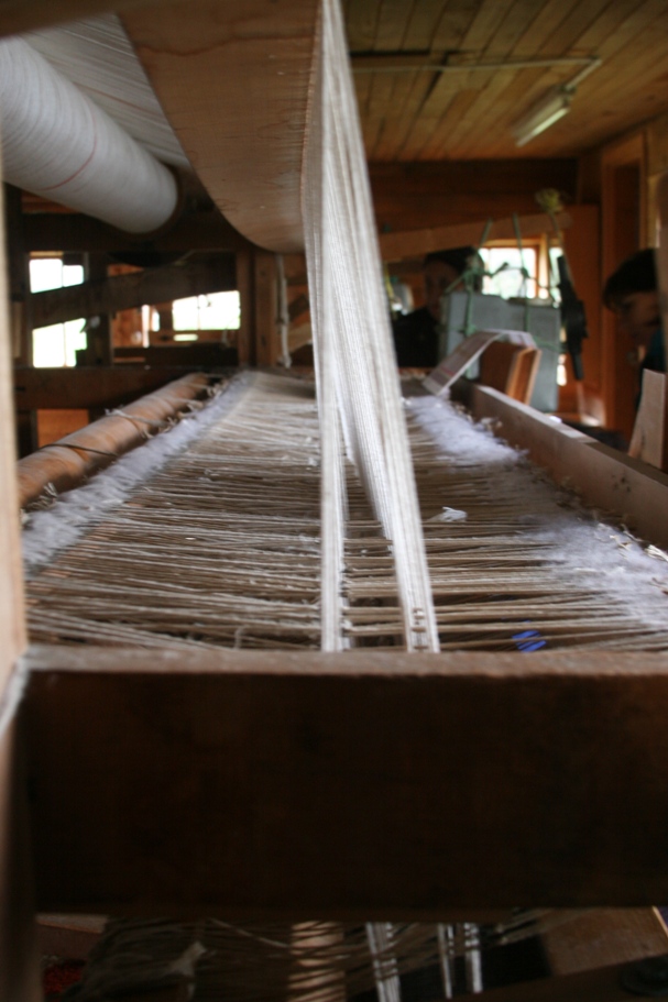
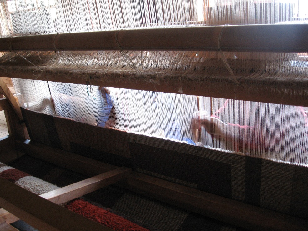
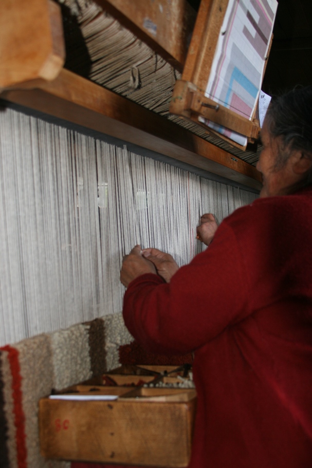
The factory is staffed by 3-4 women who pluck at the hand-loom like it's some kind of massive harp. They told Lynn that they were going to add 7 linear feet to this rug and finish it in about half a day.
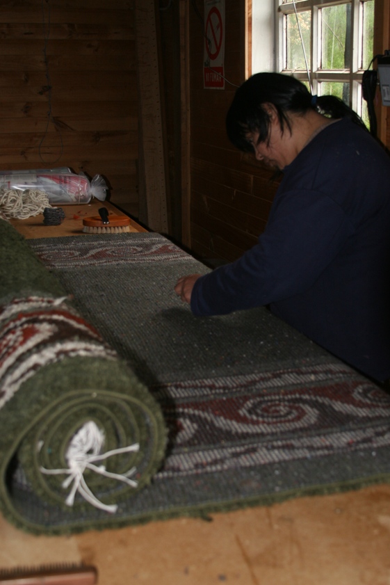
Cleaning up the backside of an almost-finished rug.
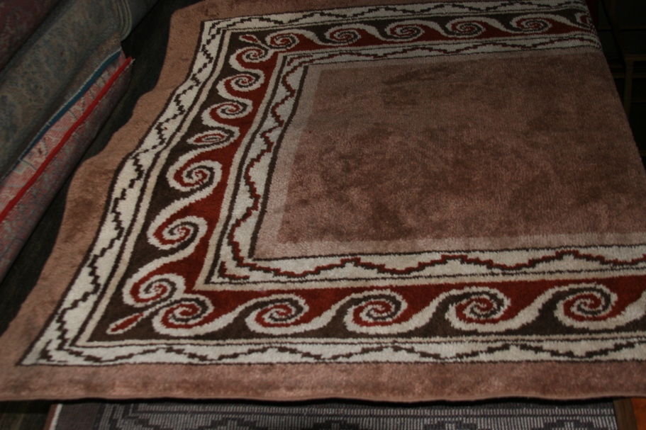
A completed product.
This carpet factory, while hand-crafting carpets using very traditional methods, has a modern, high-tech marketing department. Rugs can be viewed, selected, and ordered on-line (international shipping is provided for a not-so-small extra fee), at http://www.puyuhuapi.com
******************************************************************
The residents of Chaitén may say that it rains 370 days a year, but here in Puyuhuapi , they say that it rains "55 percent of the time," and by this they don't mean it rains more than half of the days, but that it is raining more often than it isn't.
Our past few days here, it honestly probably hasn't been raining more than half the time (if you don't count a fine mist or drizzle as "rain"), but sunbeams have been scarce, and glimpses of blue sky even rarer. The typical annual rainfall here measures over 4 meters; close to half an inch of rain per day times 365.
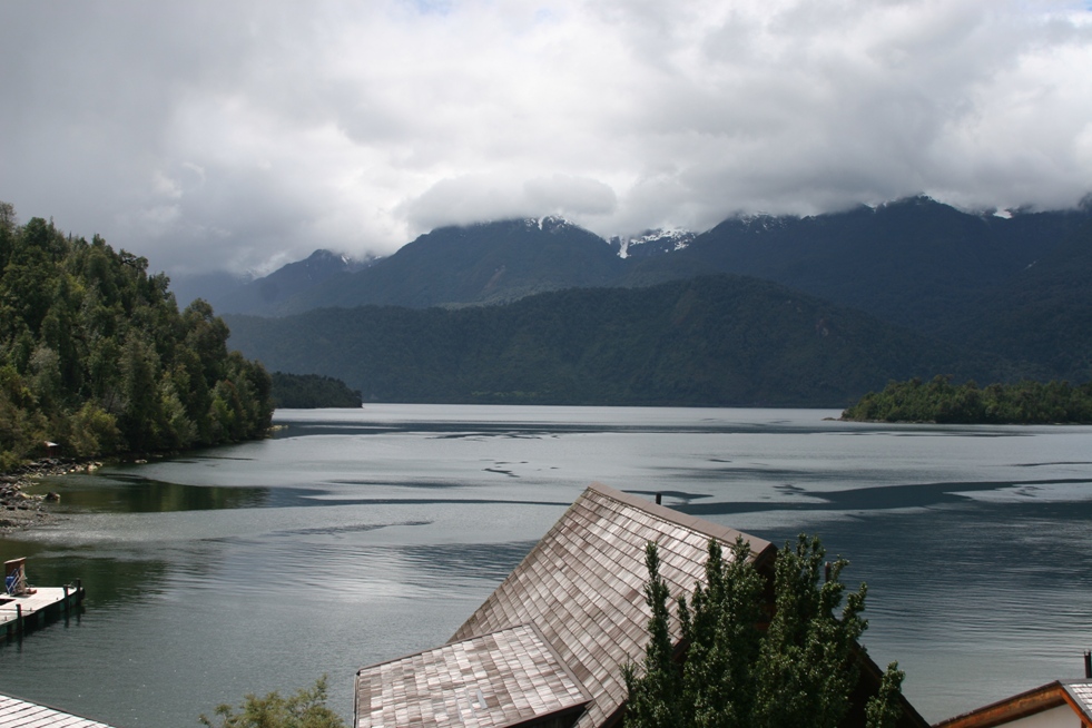
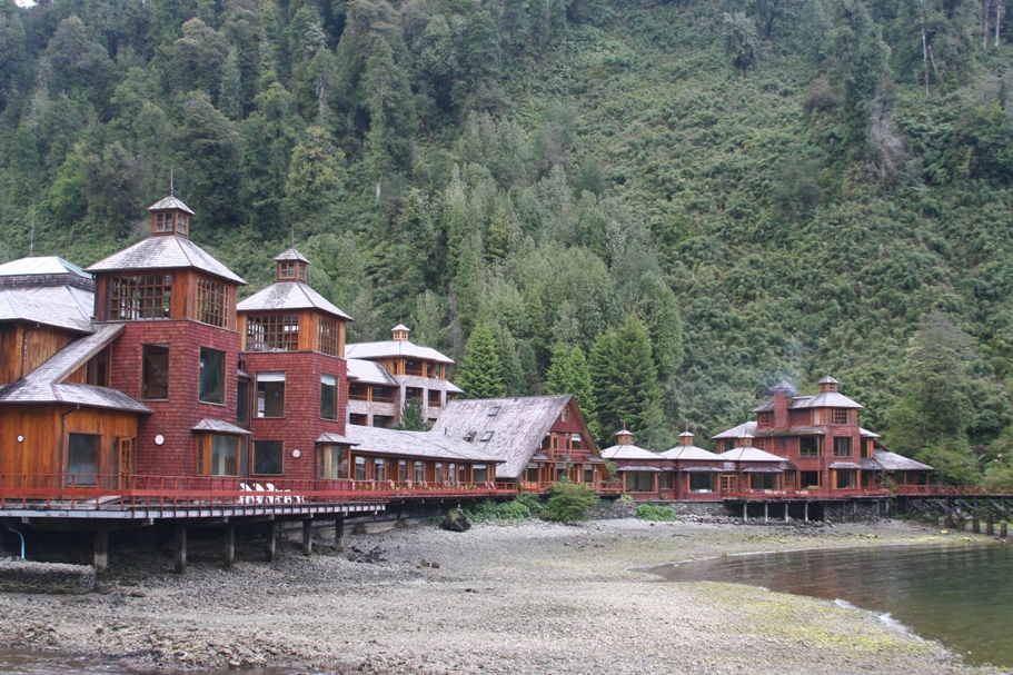
Views of and from Termas de Puyuhuapi.
The first full day at the lodge, we took a short hike, relaxed in the thermal pools, and then Lynn and Anna visited the village and carpet factory (while Tom did homework and Rolf did very little).
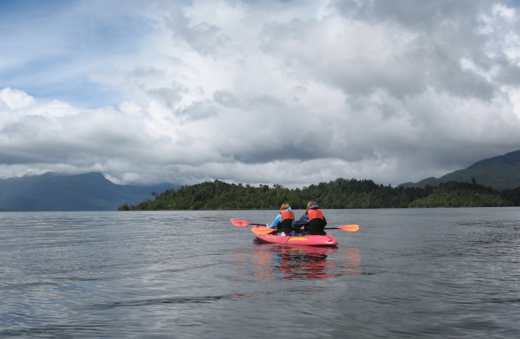
Kayaking in the bay in front of the lodge.
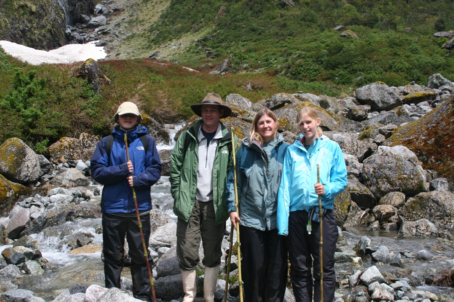
On day two, a couple of guides from the hotel took our family and three other guests on a long hike. We knew that we'd be hiking through the rainforest on a trail called "The Enchanted Forest" in order to see "something special," but exactly what the surprise was going to be - the guides wouldn't tell us.
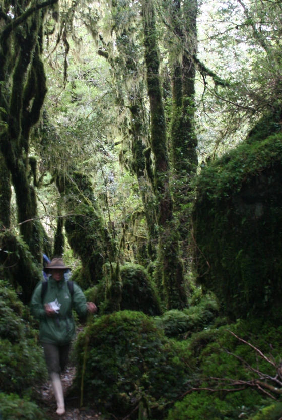
The hike began with a muddy slippery trek through dense vegetation,
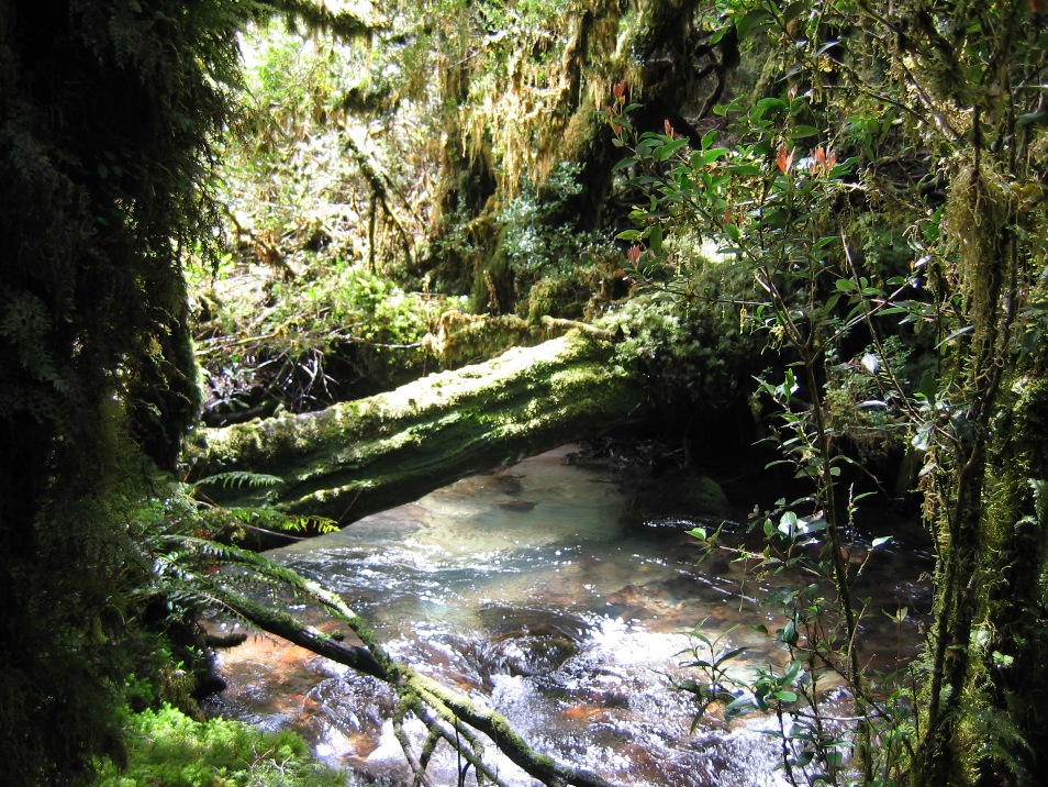
but eventually the forest opened up into a boulder-strewn valley,
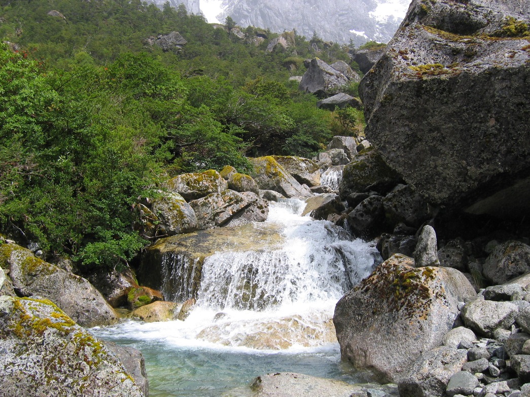
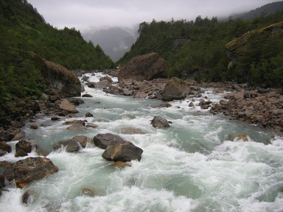
with a clear stream running amongst the rocks.
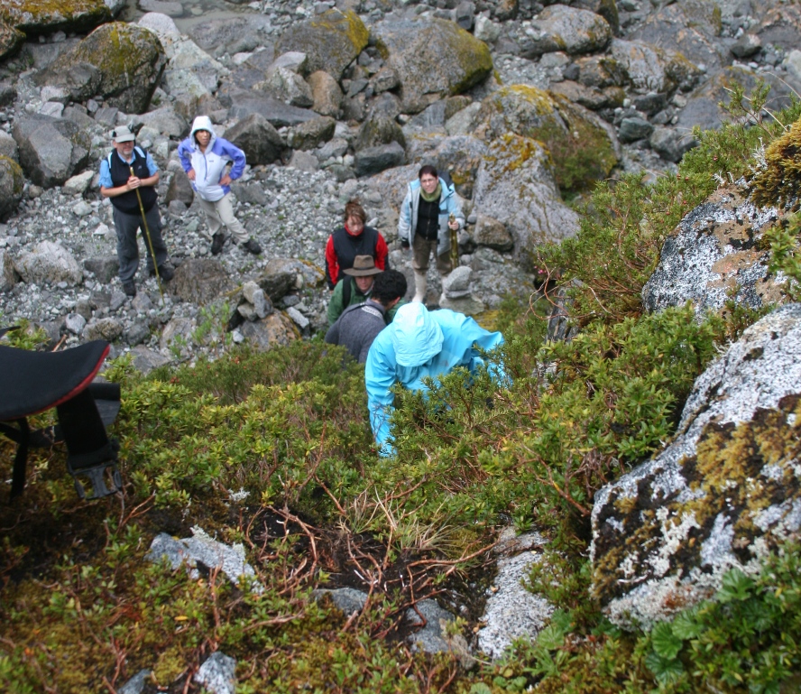
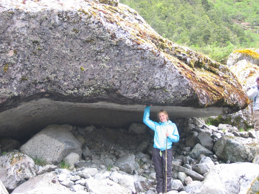
Here the hike got a little more difficult, rock-hopping back and forth across the river, and at times we were climbing more than walking (as Anna demonstrates in the above picture - she's the one in the blue hood that's climbing the small cliff using little plants for handholds)
So far, so good - no serious injuries (yet).
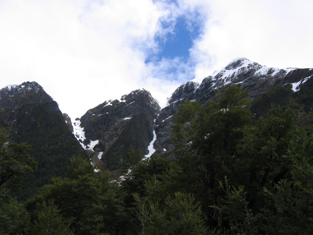
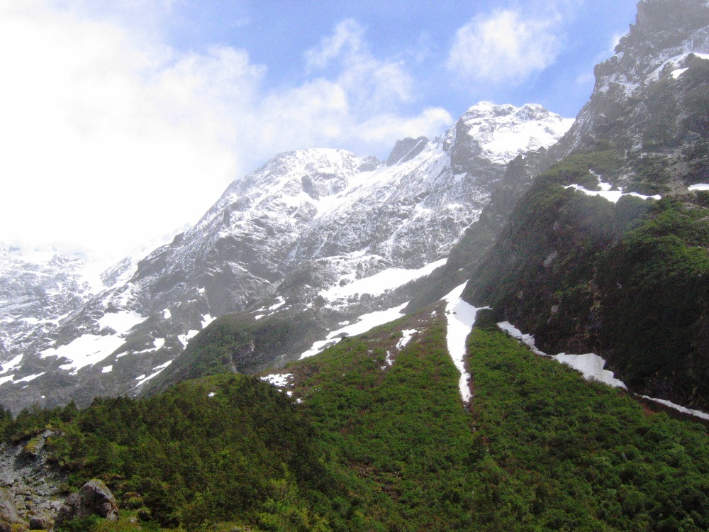
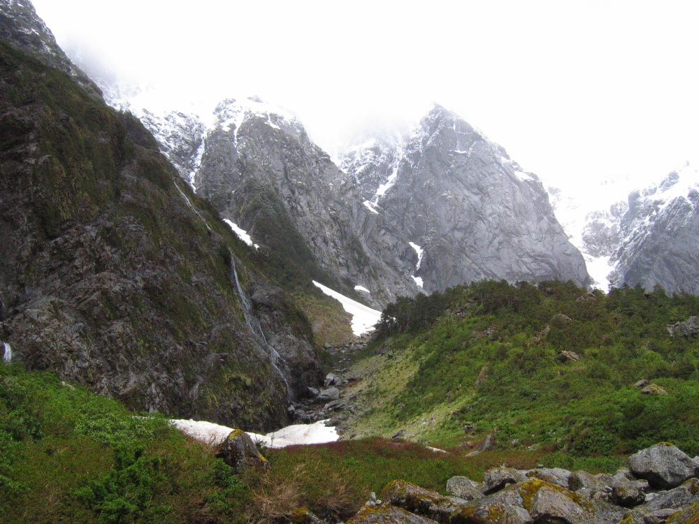
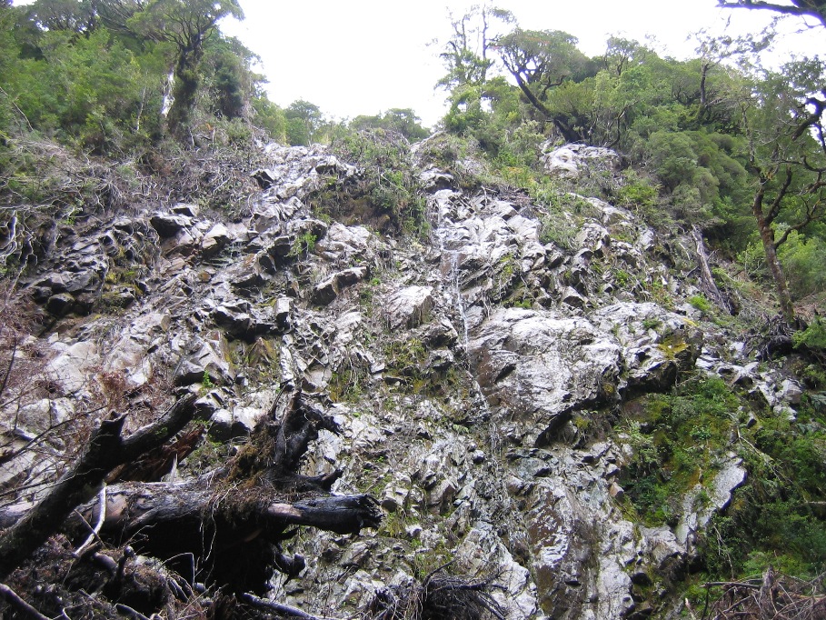
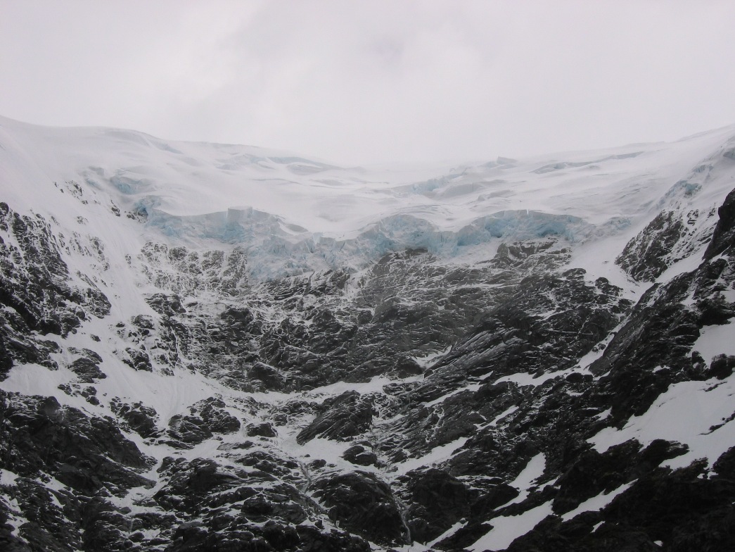
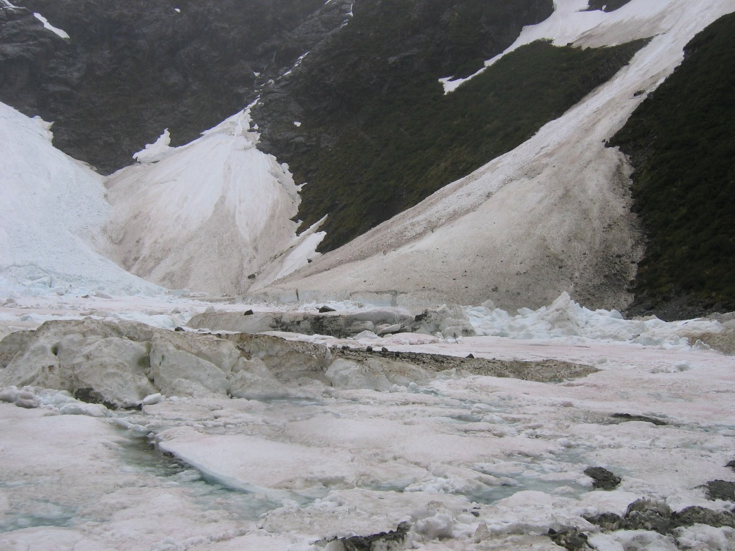
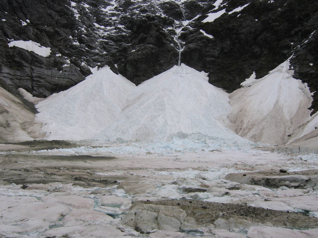
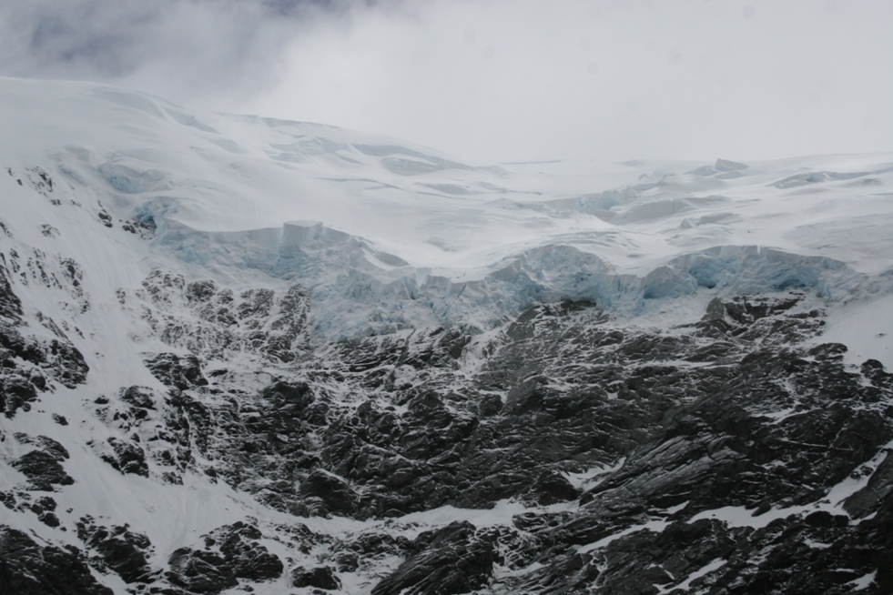
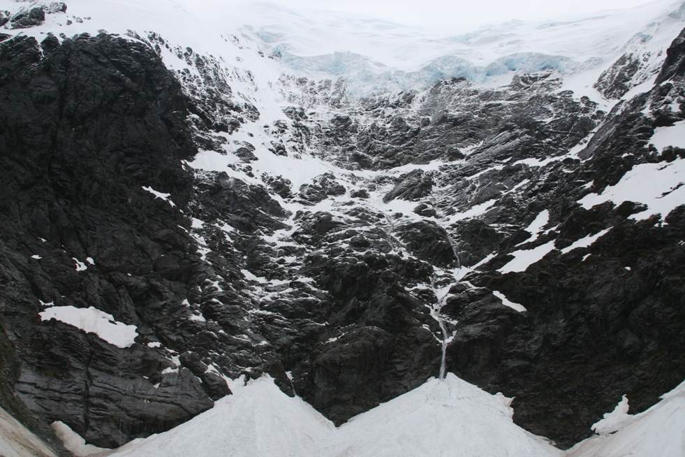
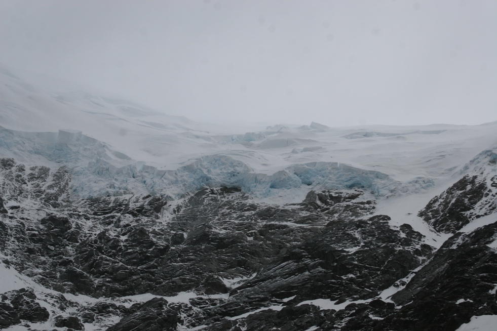
The walls of the valley rose abruptly and closed in around us, until eventually we reached the surprise... Pudú glacier and the small icy lagoon at the base of the cliff supporting it.
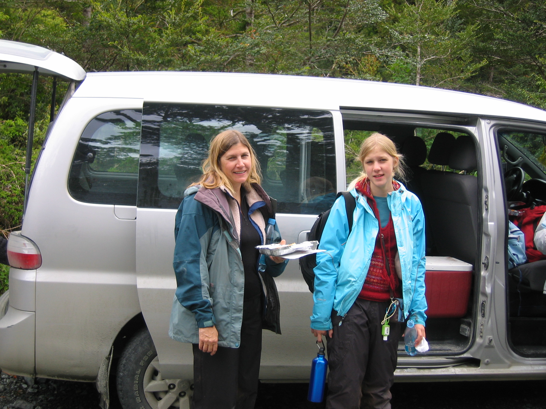
Finally, back at the hotel van - exhausted, happy, and without too many or too terribly serious cuts, scrapes and bruises. Later in the afternoon, the thermal pools at the hotel were heavenly.
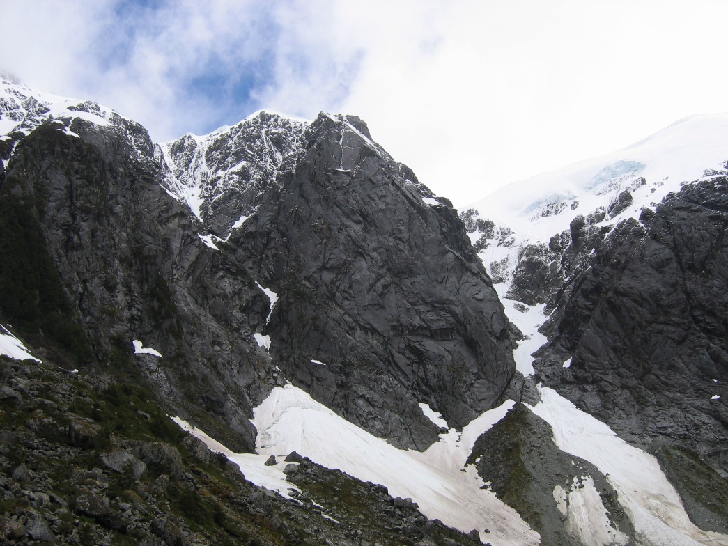
Yesterday we hoped to be able to be able to see an even more spectacular glacier, Ventisquero Colgante ("Hanging Glacier"), after taking a shorter and easier hike. Unfortunately, the weather wouldn't oblige our intentions. Rain is generally expected, but on a "good day" the clouds are high enough to allow for impressive views of the many spectacular features of Quelat National Park - the most notable being the Ventisquero Colgante. It's called the hanging glacier because it is wedged into a bowl-shaped depression at the top of an enormous rock face, and appears to literally be hanging over the edge, leaking waterfalls and ice formations down the side of the cliff.
We enjoyed hiking through the amazing rainforest again, but were disappointed to arrive at the final destination, a glacier viewpoint, to see that the bottom of a thick cloud began exactly right about at the base of the glacier
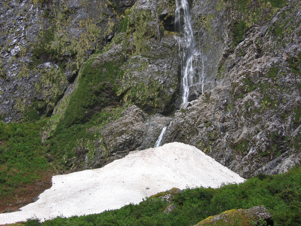
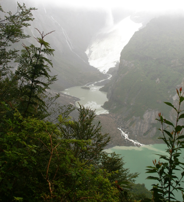
The rapidly melting Ventisquero Colgante makes a raging river.
The valley carved by a much larger glacier in some ancient ice-age.
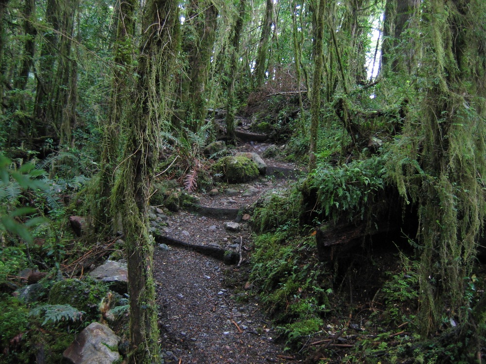
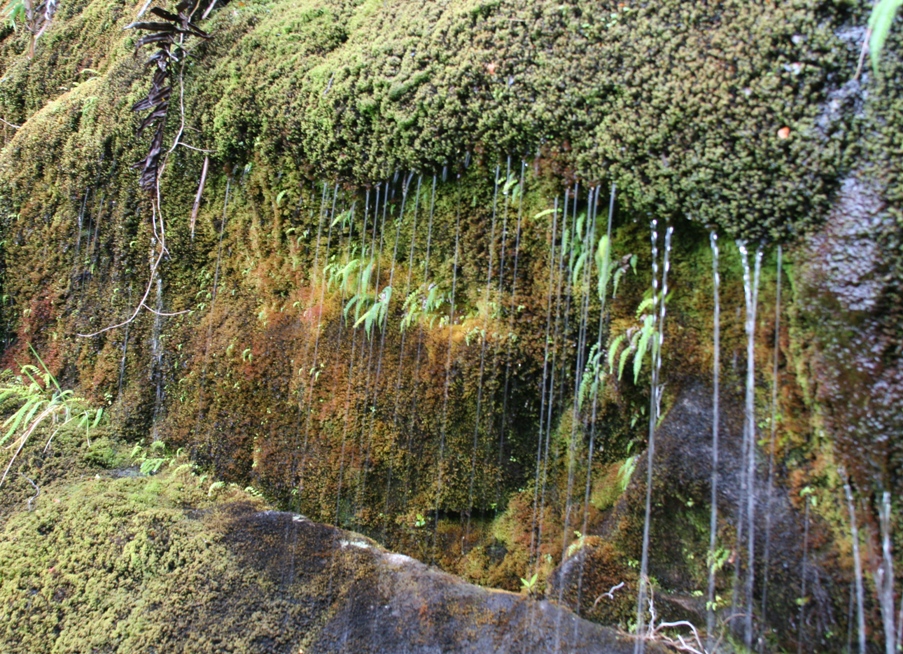
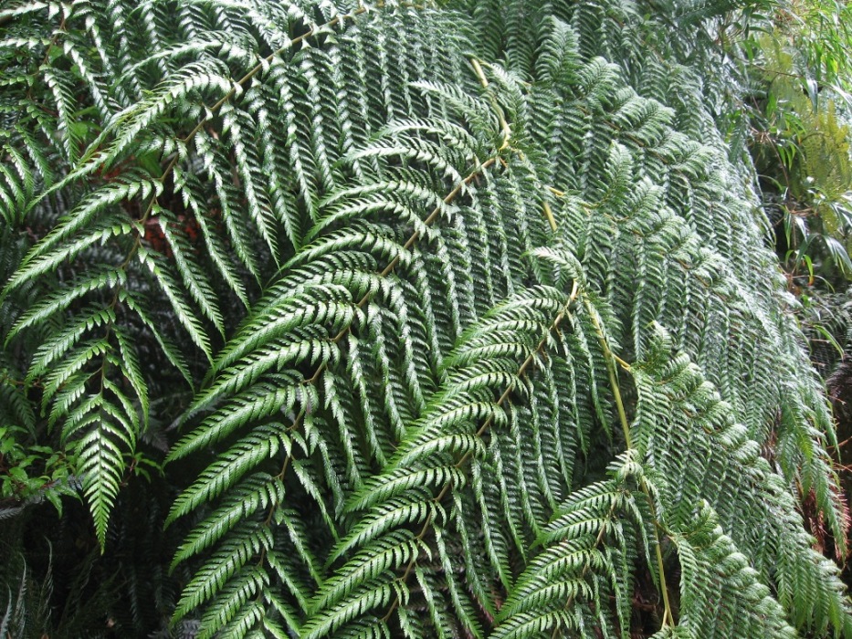
Another very wet, very green trail, complete with leaking hillsides...
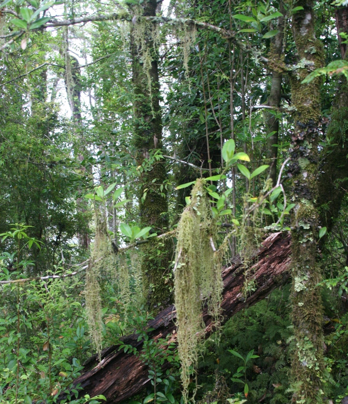
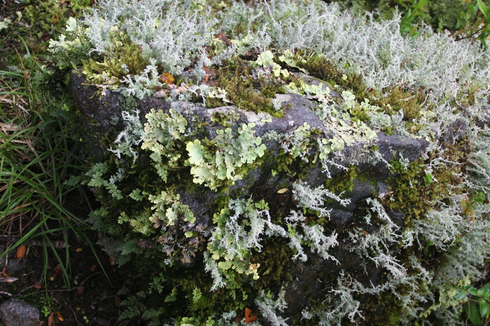
and plenty of moss, fungus, ferns, and lichen.
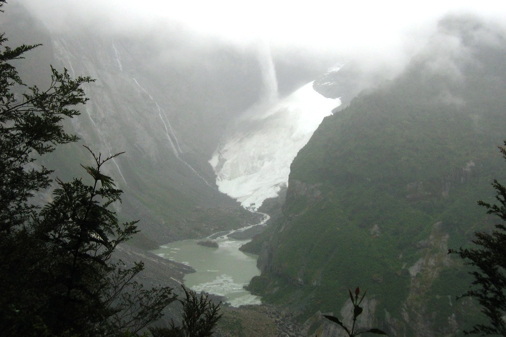
Try to picture a large glacier perched on the top of the cliff, just a little bit higher than where the cloud starts (that's what we did!).
-Rolf