Copiapó - Vallenar
Green Trees, Warm Air, Wet Rivers
Wednesday August 29
For the last four days, we haven't done anything or visited anywhere particularly exciting, other than pursue a relaxed pace of heading southward. Two nights each in the medium-sized cities of Copiapó and Vallenar allowed for relatively short driving days (Bahía Inglesa to Copiapó on the 25th and then Copiapó to Vallenar on the 27th), and plenty of time to see whatever seemed worthwhile in the vicinity and have good schoolwork sessions as well.
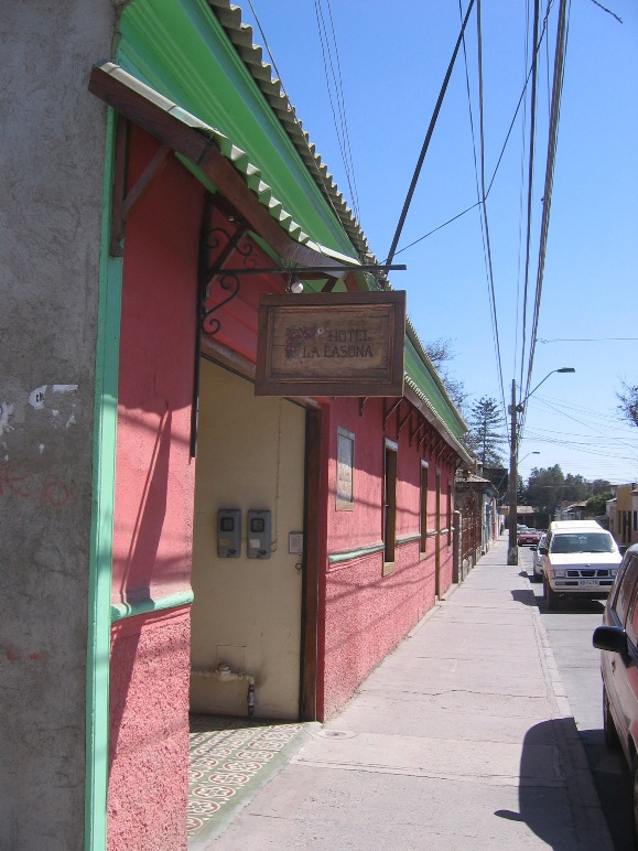
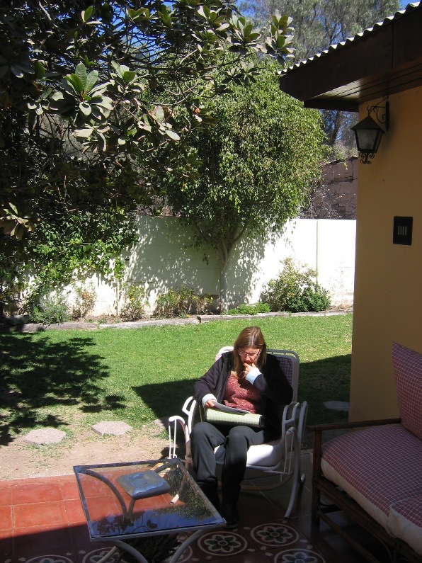
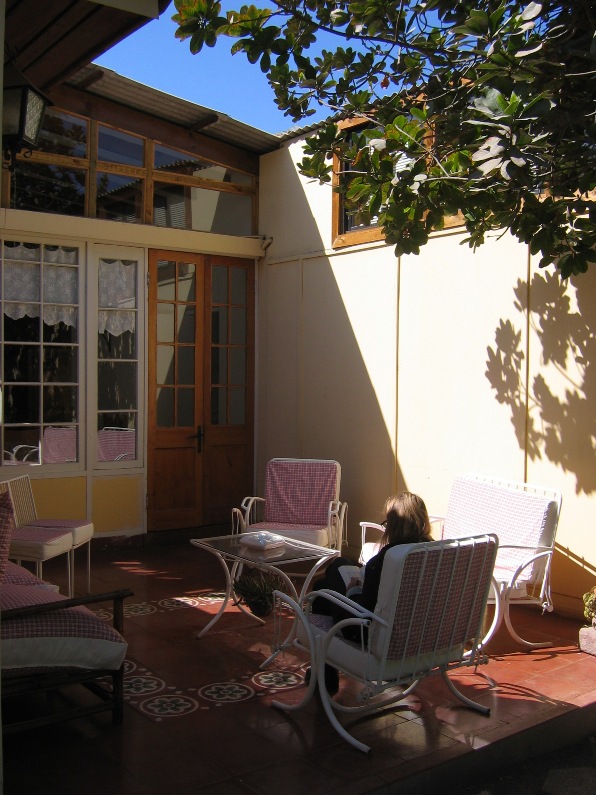
Other than the brightly painted Universidad de Atacama on the outskirts of town and the handsome old plaza - ringed by 100 year-old pepper trees and lorded over by a stately 19th century wooden church - the nicest place in this dusty city of 100,000 seemed to be our hotel. The charming little Hotel La Casona, situated in an old one-story hacienda, had small but clean and well kept rooms, cozy courtyards with flowerbeds and rocking chairs, and two cheery and chubby older sisters who worked hard to serve nice breakfasts and dinners to the guests. We especially appreciated the dinner, having scoured the neighborhoods both near the hotel and around the plaza in search of what turned out to be two edible but uninspiring lunches.
Despite the fact that certain vacant lots and older vacant buildings near our hotel reminded me of pictures of bombed villages in northern France and Germany after WWII, we found the warm days, green trees, and flowering gardens of Copiapó quite enjoyable after our weeks in the arid, cold, and breezy Norte Grande.
Hotel La Casona
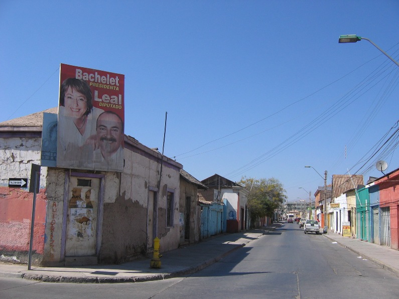
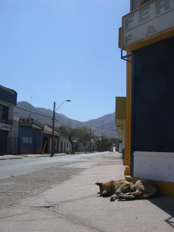
Neighborhood near our hotel.
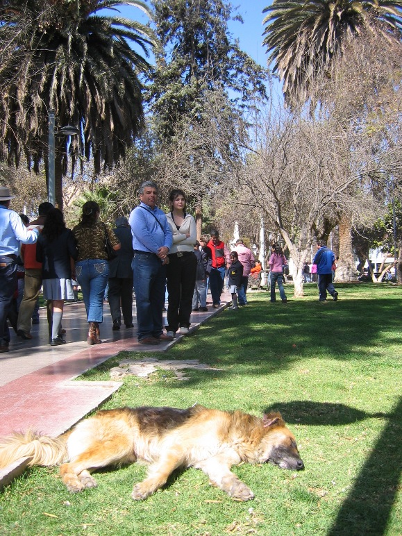
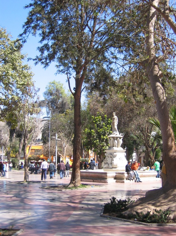
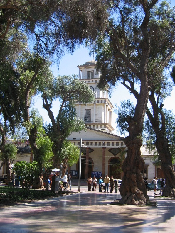
Scenes of the Plaza de Copiapó
On the 27th, the drive from Copiapó to Vallenar was short enough to allow time to visit the excellent collection of minerals and meteors in the Mineralogical Museum of the Universidad de Atacama in the morning and then take in a diversionary excursion during our afternoon drive. We started the trip to Vallenar by heading up the Copiapó valley to take in the scenery and visit the ruins of an Inca copper foundry. The copper smelting ovens of the old foundry had been carefully located atop a moderately tall hill where the winds of the valley blow strong and steady to fan the fires of the foundry. These reliable winds are still blowing hard today, as we quickly discovered that holding on to our hats was a necessity if we wished to keep them to wear another day. A spontaneous P.E. class erupted when the kids and I started running around chasing ourselves on the hillside, shaking off the drudgery of a car-ride and embracing the chance to exercise our legs and lungs.
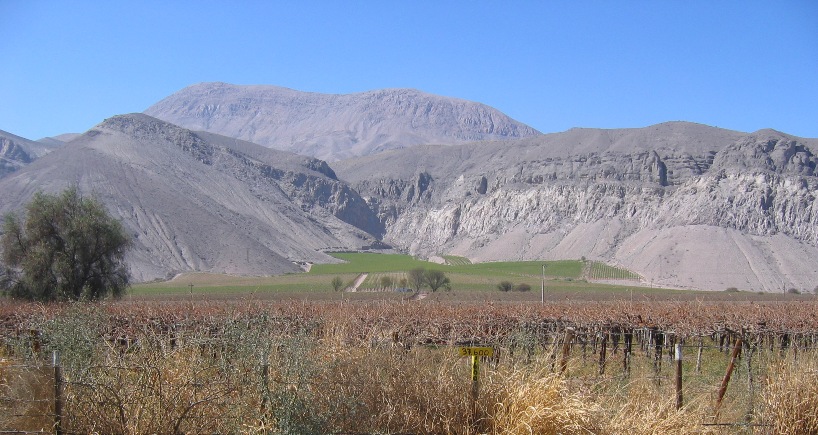
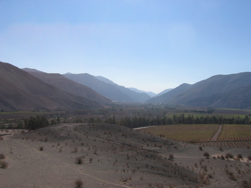
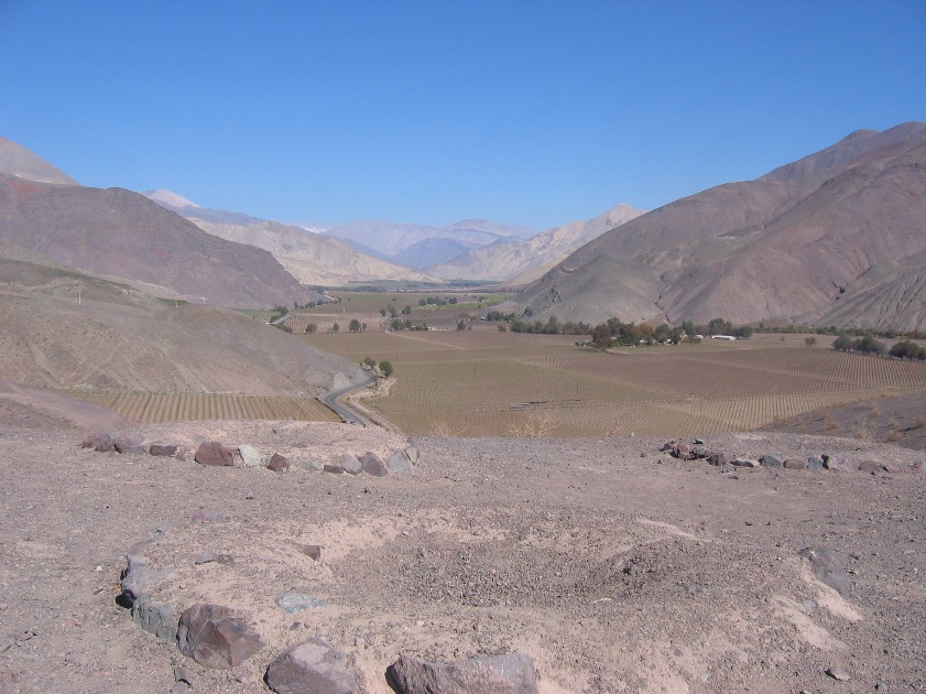
Copiapó Valley
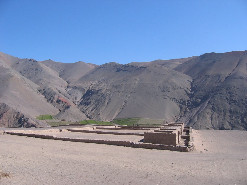
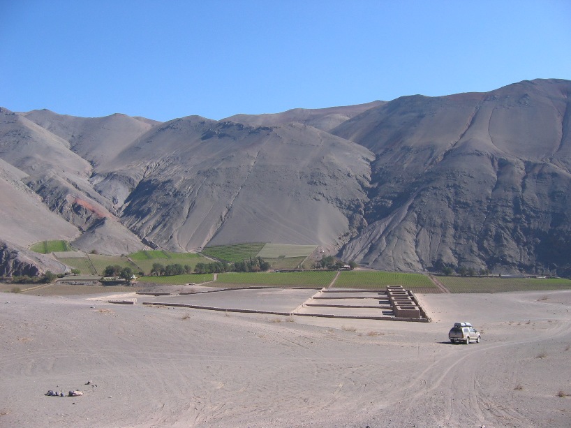
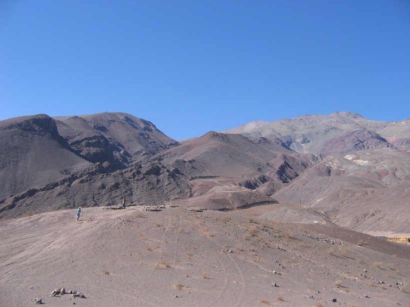
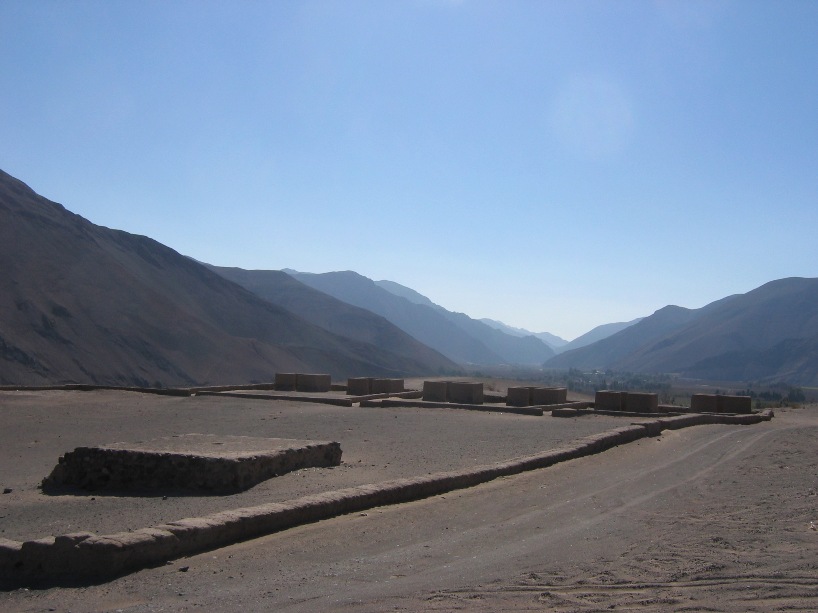
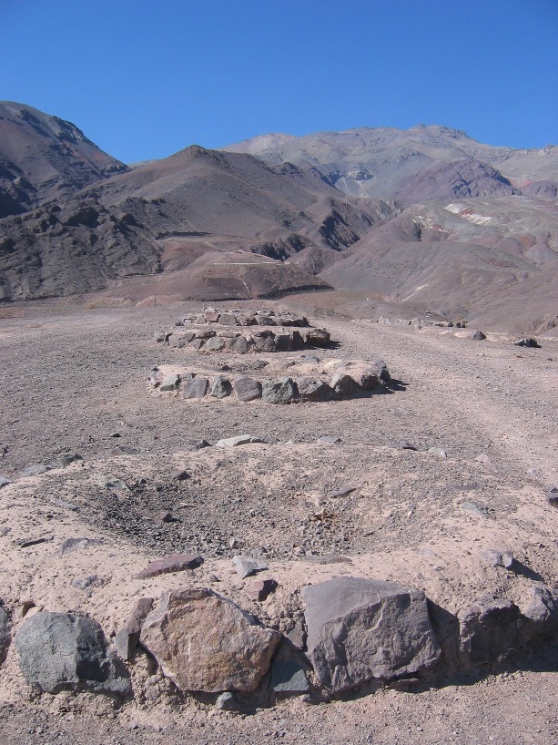
Old Inca Foundry.
Our hotel in Vallenar wasn't nearly as charming, old, or interesting as the La Casona in Copiapó, but it did keep us warm and safe and feed us two reasonable dinners and two almost reasonable breakfasts. Other than its own charming plaza with unusual church (copper-topped dome), we found little in Vallenar proper worth going out of the way to see. We left town on Tuesday morning to take a drive to the coast and visit a national nature refuge. One of the most inspiring aspects of the drive was following the Rio Huasco to the coast. There was real running water in the river and lush orchards on either side - more life, enterprise, and prosperity than we have been accustomed to more than 5 kilometers outside of an oasis or mining-port city.
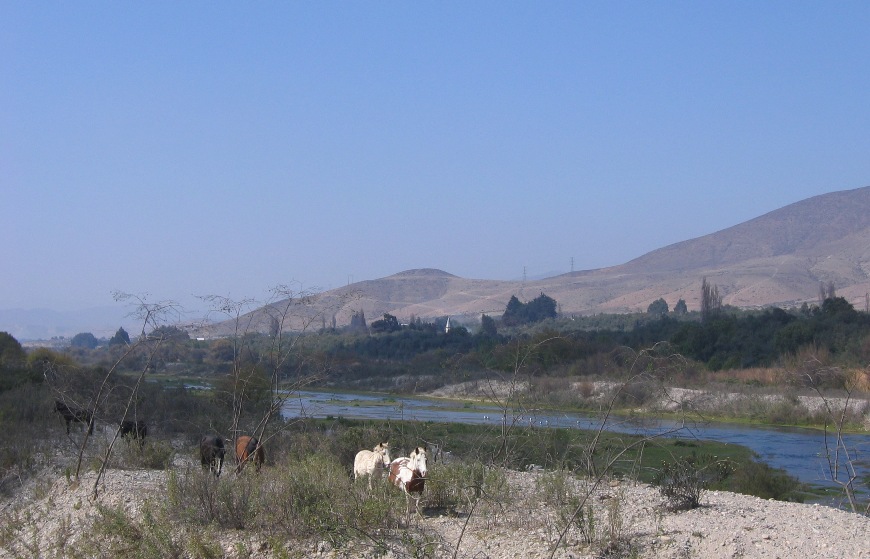
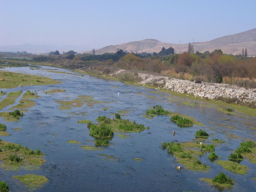
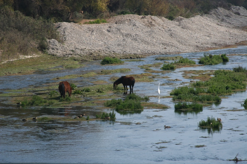
The Rio Huasco.
The nature reserve and coastal town of Huasco left me scratching my head a little bit as to what especially was so special and why we had driven here, but once there, we looked around and enjoyed viewing the Black-Necked swan hanging out with two stray flamingos in the lagoon. I think the best beaches were located a little south of Huasco and we had failed to take the right little dirt path road that would have led to them.
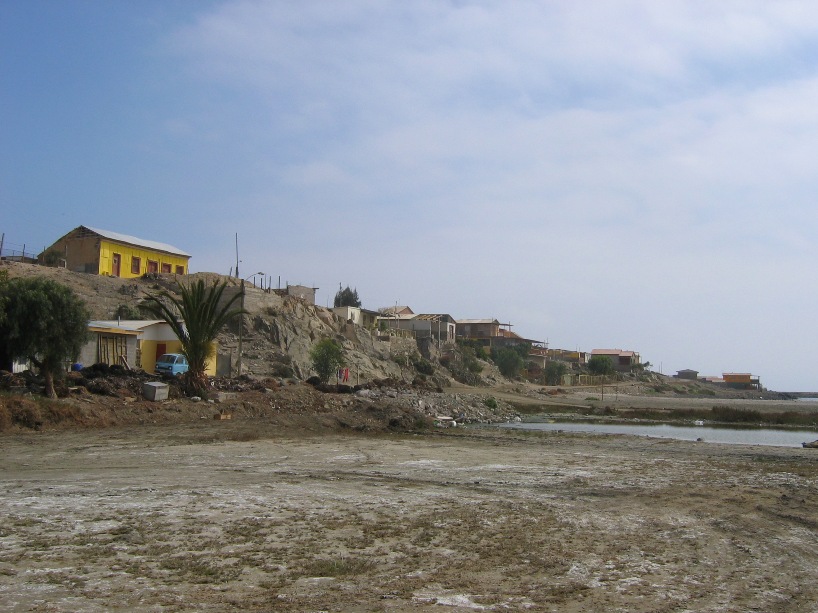
Huasco
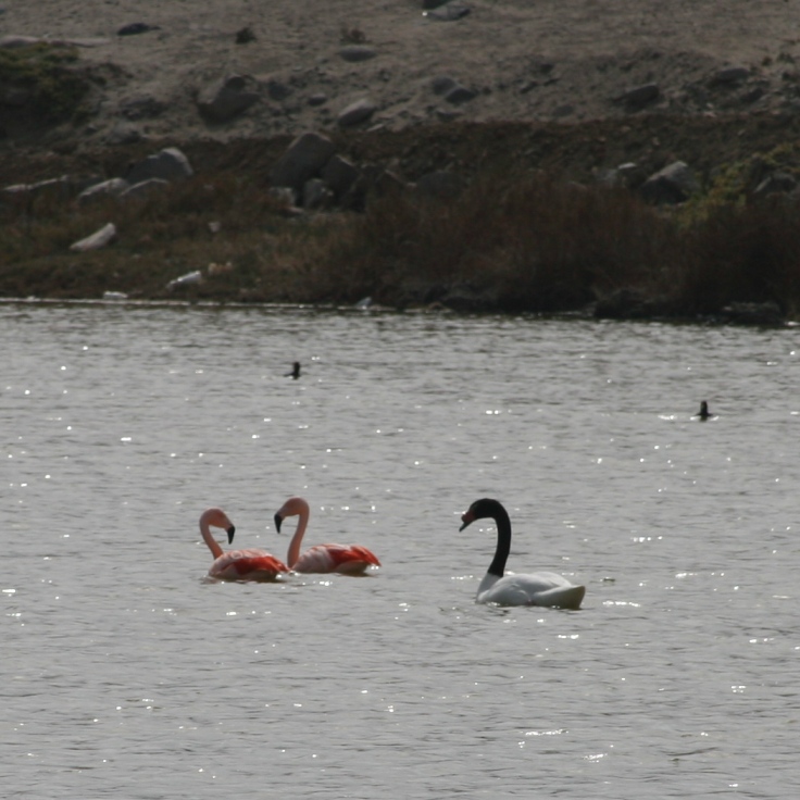
Birds.
![]()
Another enormous mine (Mina Colorado) viewed from the dirt road heading back from the coast.
Today we left Vallenar without too much regret, and backtracked through Vicuña (where we had stayed more than a month ago) on our way to a horse-ranch hacienda in the Hurtado Valley. This was a fairly long drive, although spending the afternoon part of it off of the drab desert Panamerican made it more than tolerable - actually quite spectacular in places and almost a little too much so now and then. We spent a good two hours on the last 45 kilometer section of widened donkey-path heading south from Vallenar. The 1 to 1.5 lane dirt and rock track surmounted a ridge between the Elqui and Hurtado valleys in a most precarious manner. It didn't seem too bad at the time, but think I welcomed the wine at dinner with a bit more eagerness than usual.
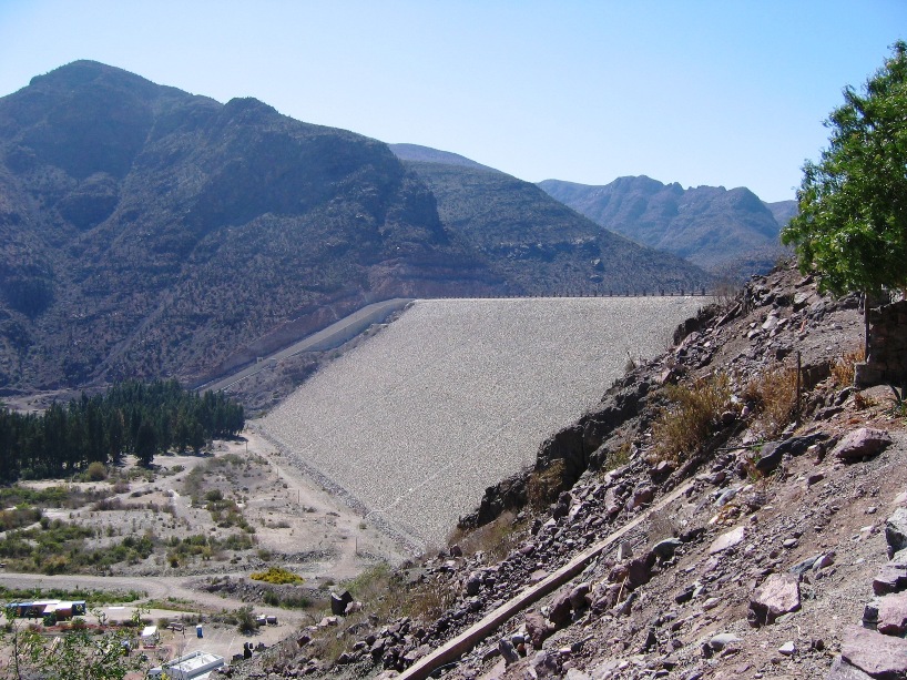
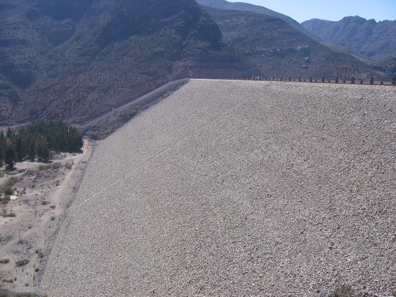
The massive earthen dam on the Rio Elqui just downstream of Vicuña.
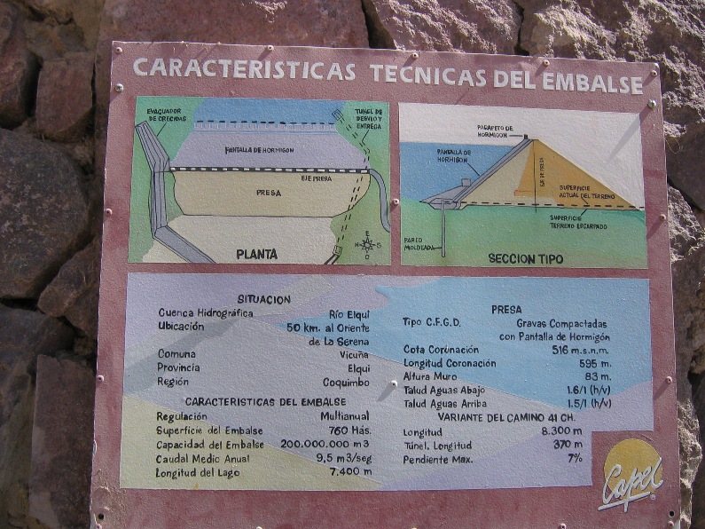
Dam data.
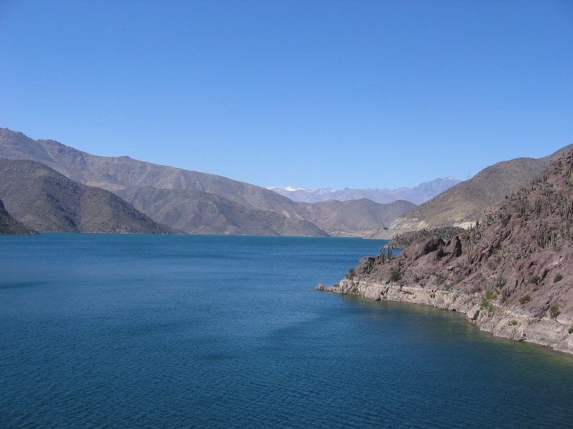
Upstream of the dam, there is more water than downstream.
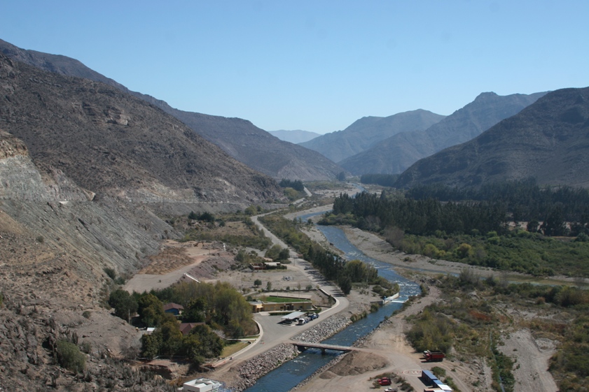
Downstream of the dam, there is less water than upstream. If I lived in Le Serena or Coquimbo (near the outlet of the river, a mere 50 kilometers downstream), I might fret about earthquakes while I lay in bed at night.
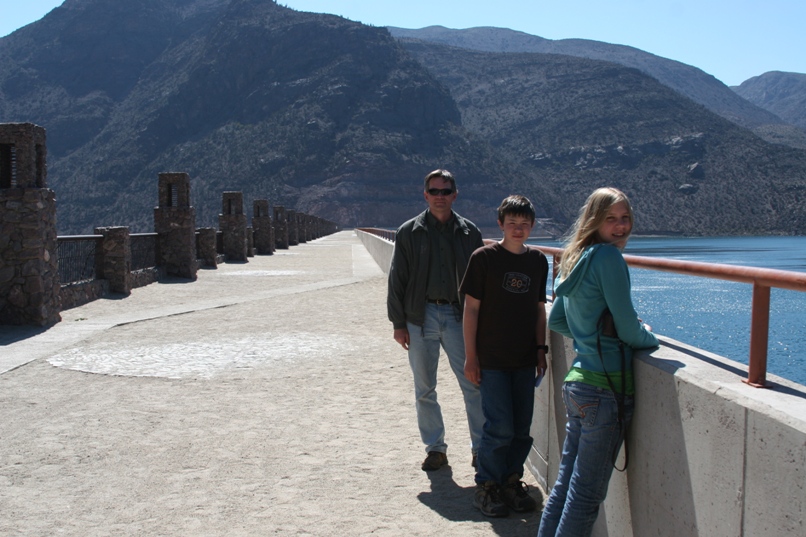
We throw pictures like this in every now and then just to prove we really were there.
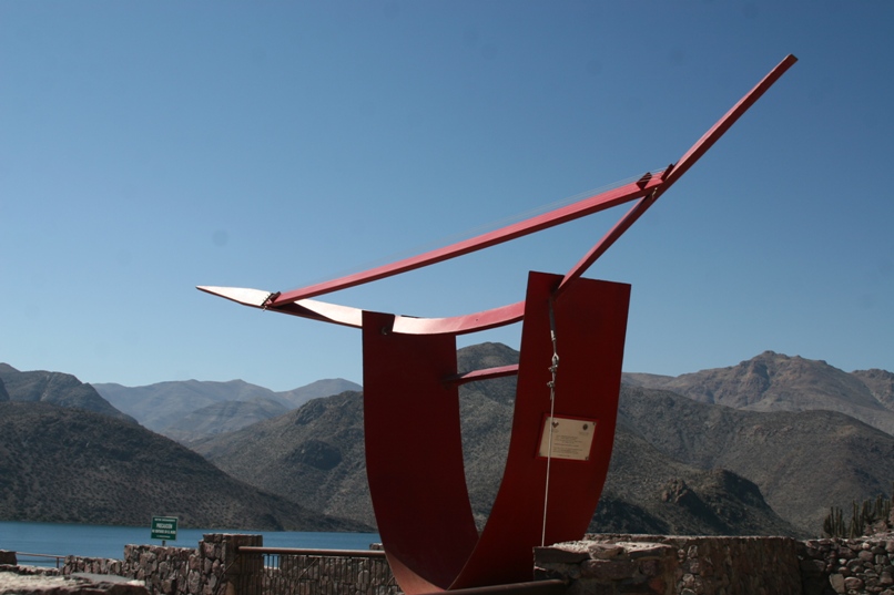
A monument commemorating the construction of the dam - a metal lyre with real metal strings strung across the bow. The steady wind blowing across the strings produces a constant whining metal hum - not quite as unpleasant and fingernails on a chalkboard - but it did make us want to leave quicker than we might have without the unpleasant background music jangling our nerves.
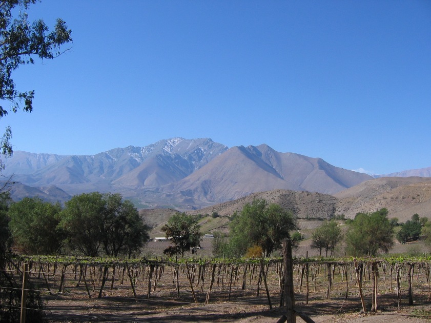
Beginning the drive south from Vicuña on highway number, hmmm, I think it is simply called "To Hurtado."
![]()
Looking back at Vicuña after the road had climbed up into the mountains.
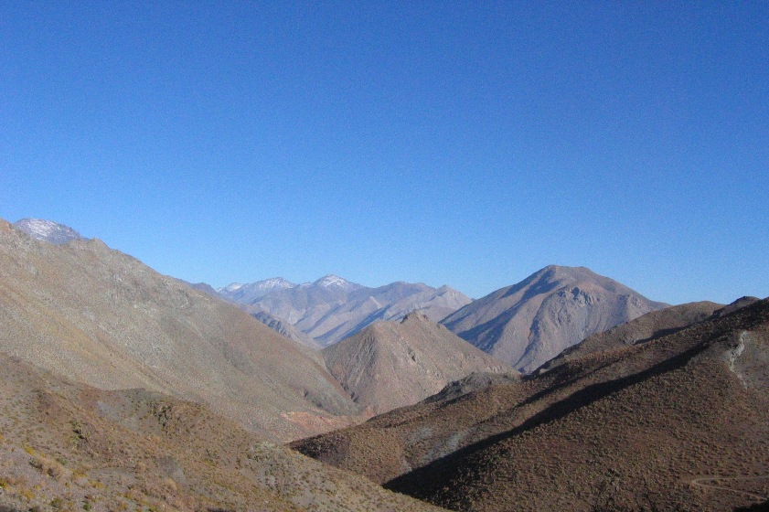
Looking ahead at the pass.
Yes we made it again.
-Rolf